February 2023
This was my first new coastal walk of 2023 although I was only here for the weekend. If I was in any doubt as to whether it was the right decision to walk around the coast between Dunoon and Gourock rather than take the ferry this walk certainly confirmed I had made the right decision to walk around. This was a wonderful walk.
Last night, after work, I had flown up from London Stansted to Glasgow on EasyJet and spent the night at the Holiday Inn at Glasgow Airport. This morning I had breakfast at the hotel and then made the rather dreary walk to Paisley Gilmour Street station, around 30 minutes walk away.
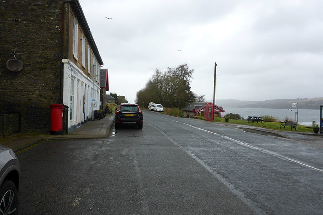
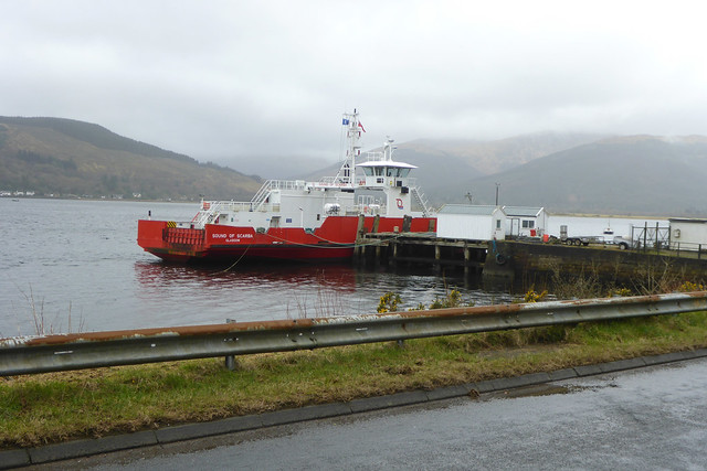
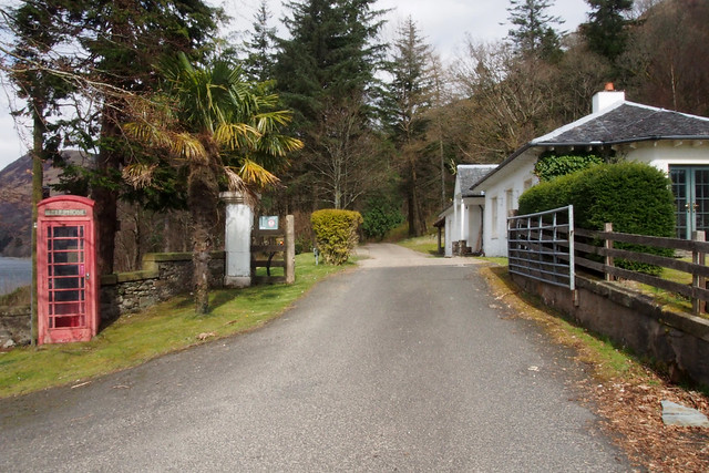
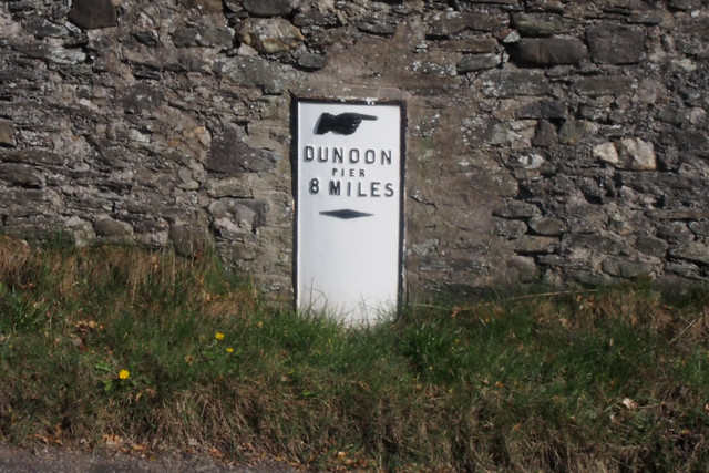
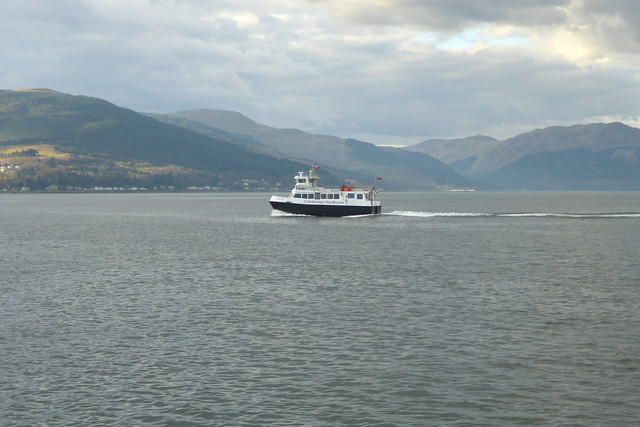
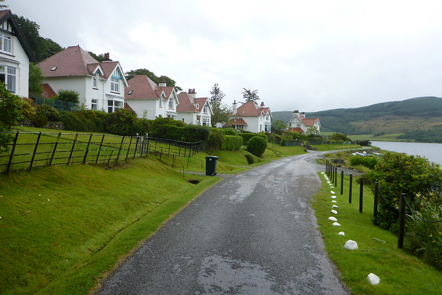
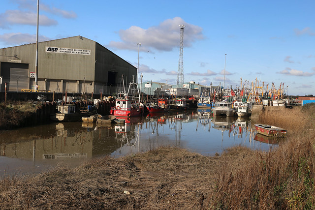
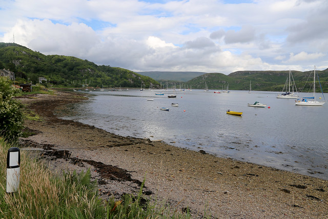
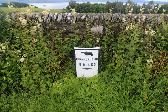
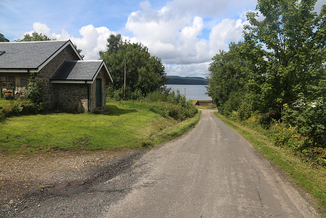
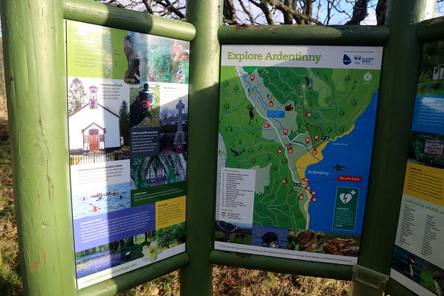
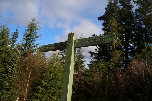
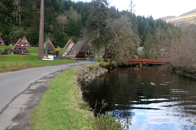
From here I took a train to Gourock and then the ferry from there to Dunoon. Finally a bus from Dunoon to a small village called Ardentinny and I was ready to begin. This had an outdoors centre and hotel/bar (which was closed). I was originally considering doing the walk from Dunoon to Lochgoilhead in one go, but concluded that was too long so I split it into two walks instead. I was pleased to find that a tiny place like Ardentinny actually has a fairly frequent bus service, which helped.
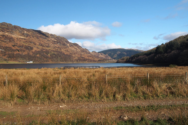
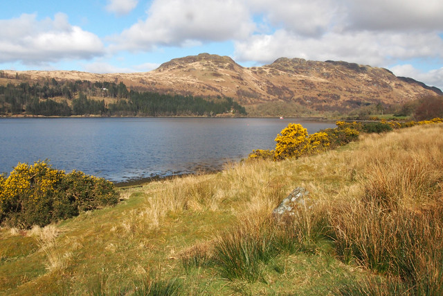
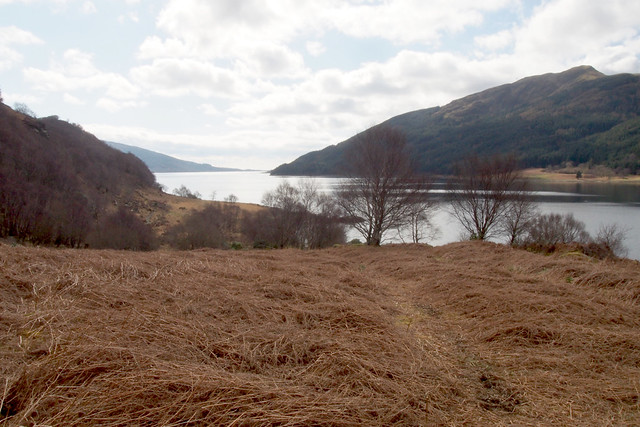
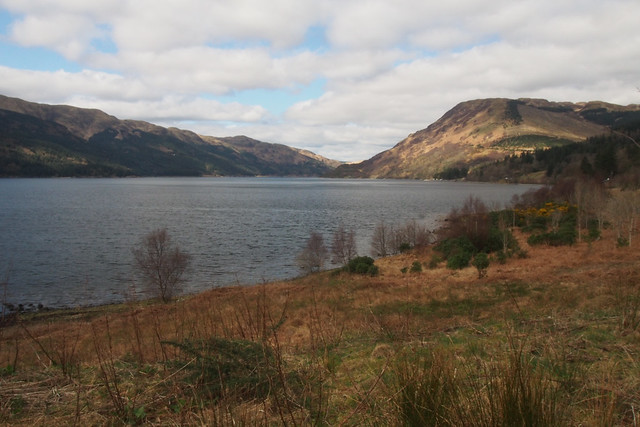
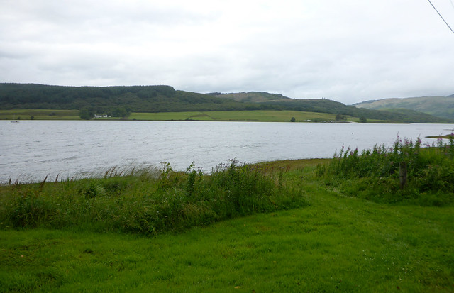
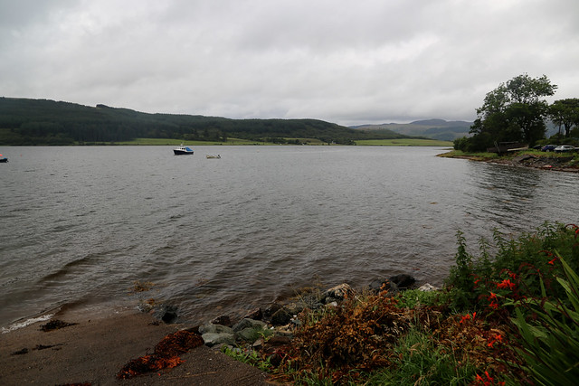
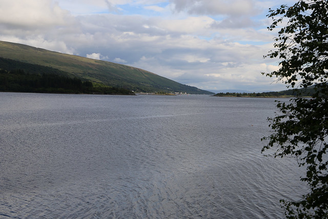
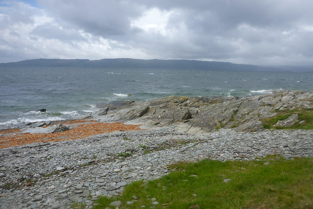
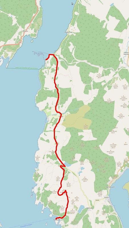
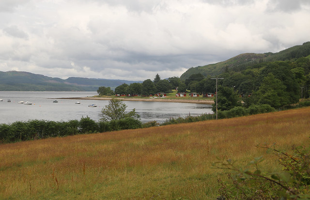
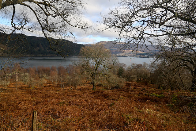
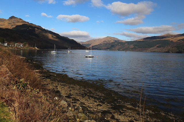
Ardentinny is on the western shore of Loch Long and my plan for the day is to follow the coast north into the smaller Loch Goil and end at the head of the loch at Lochgoilhead from where there is an occasional bus to Helensburgh from where I can then catch a train to Glasgow and another back to Paisley. It was also a complicated walk with logistics, but in this case not having a car was useful as it was easier to get back to Glasgow than it would have been to get back to Ardentinny!
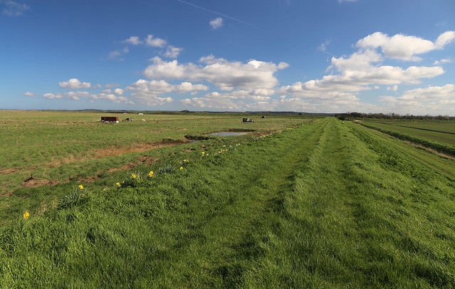
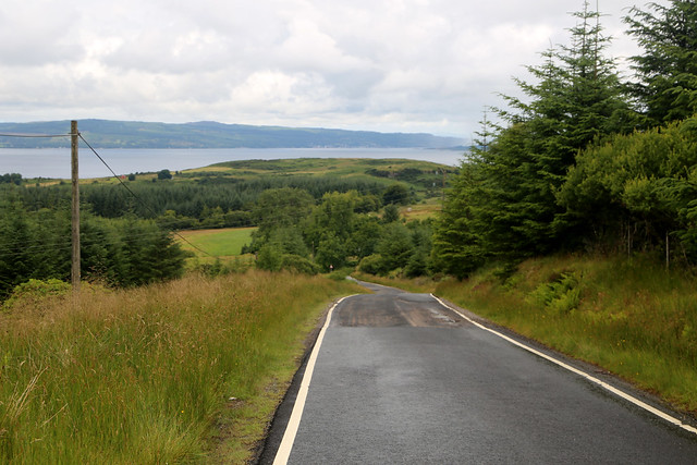
The only point that bothers me with the walk is that part of the walk looks to be on a path and I’m worried it may not or be a mad bath but reports from other walkers suggest this walk is simple, so I hope that turns out to be the case. Although February the weather today is beautiful with hardly a cloud in the sky.
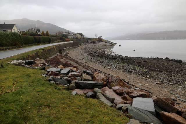
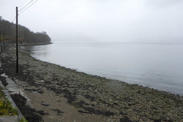
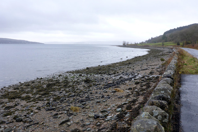
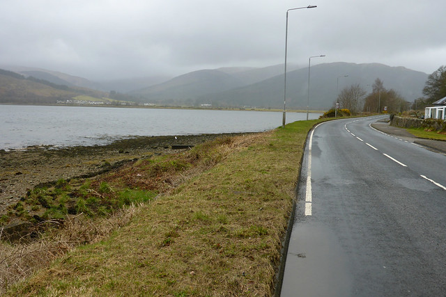
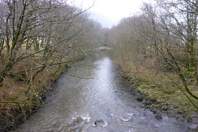
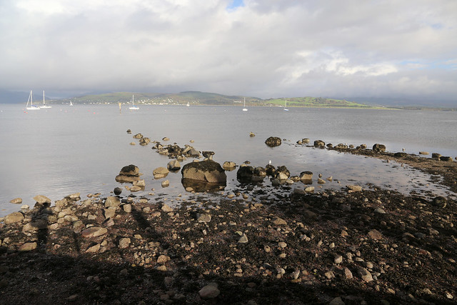
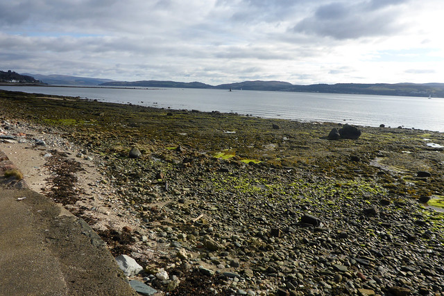
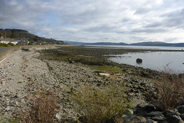
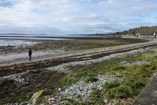
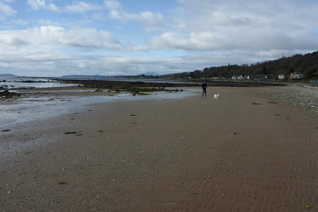
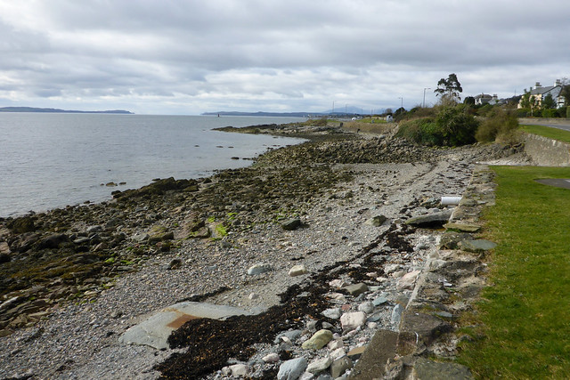
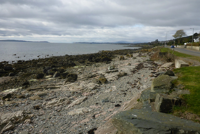
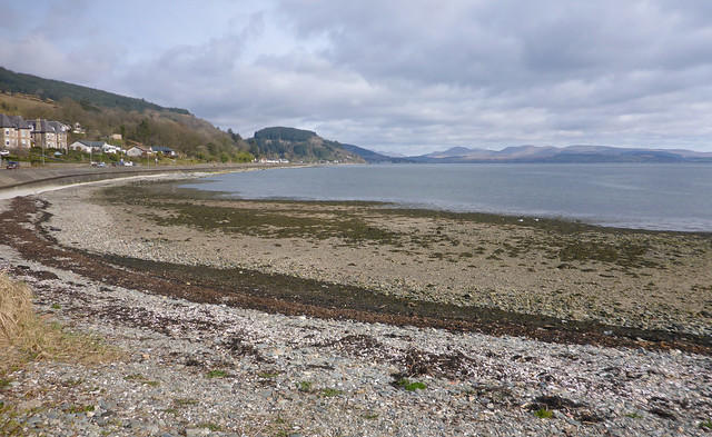
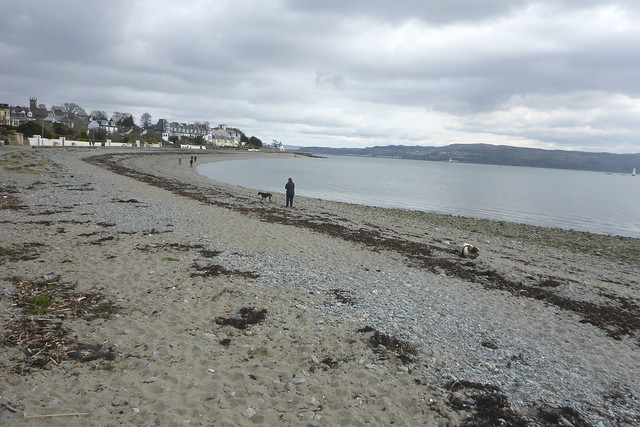
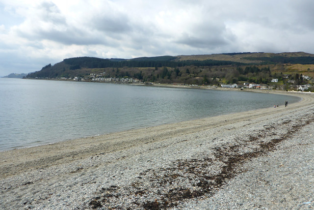
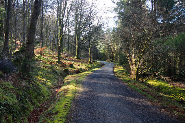
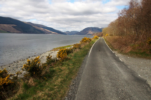
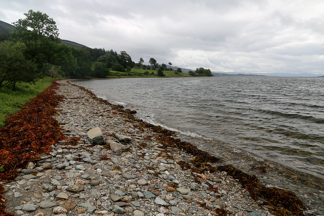
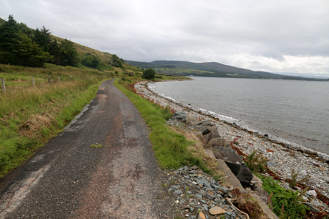
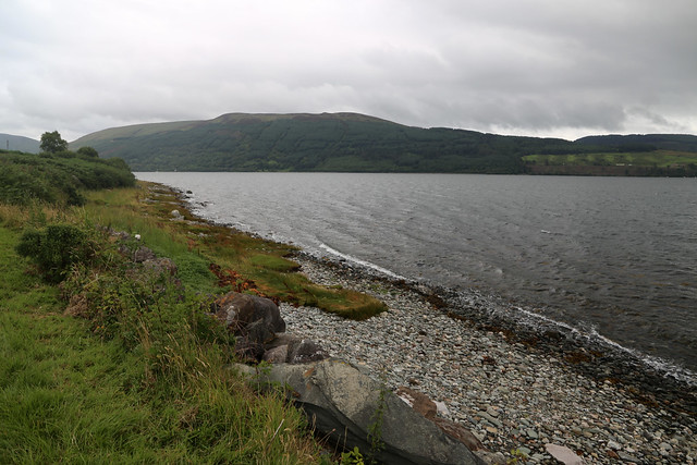
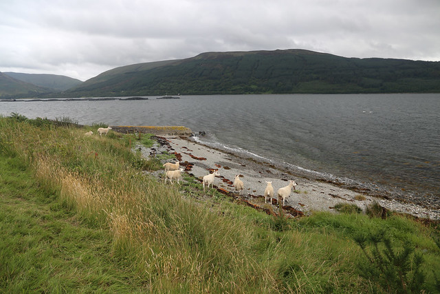
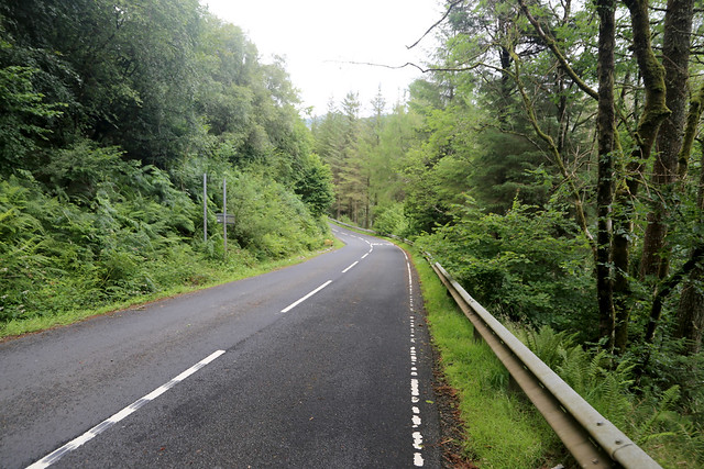
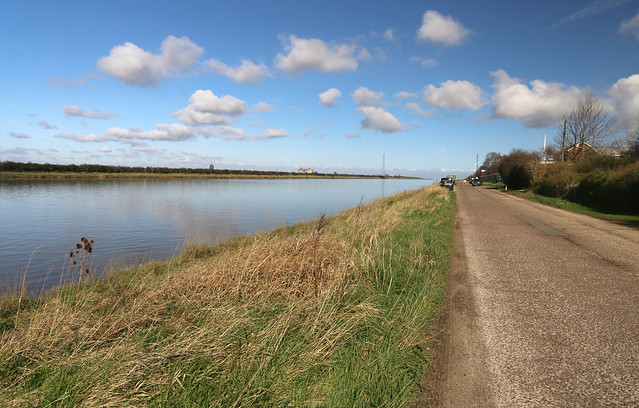
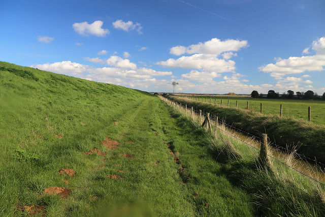
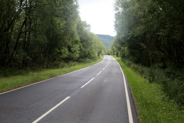
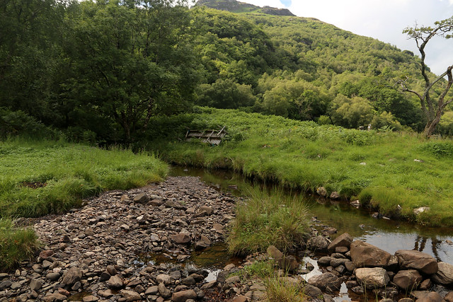
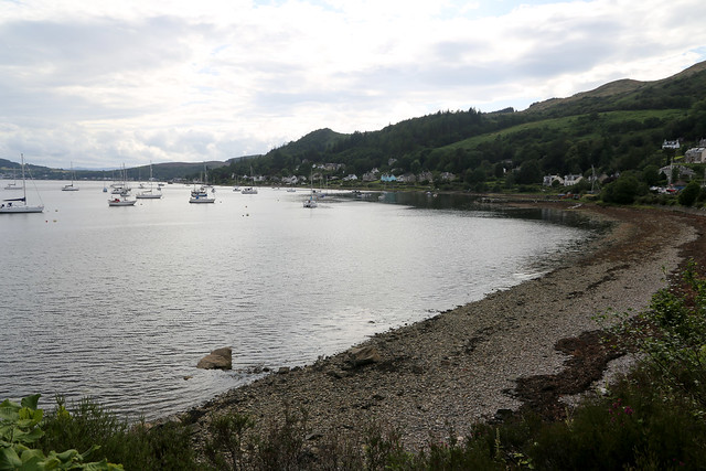
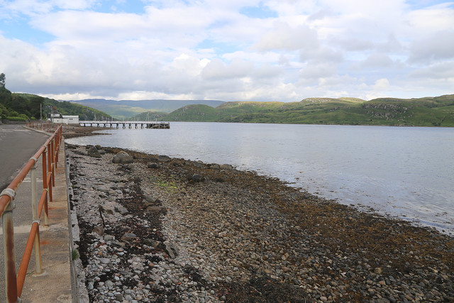
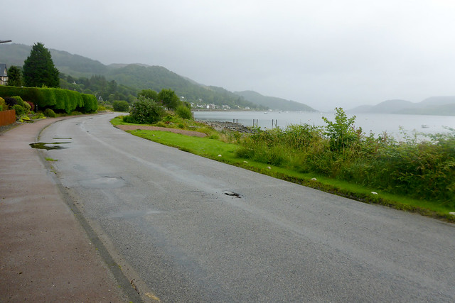
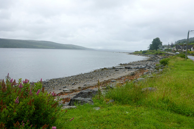
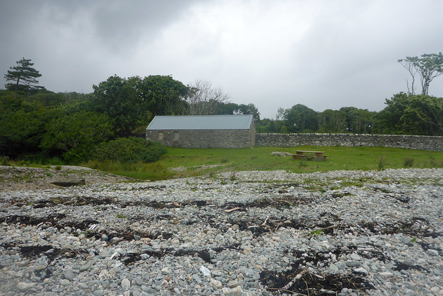
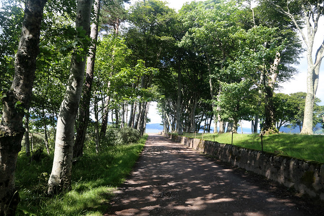
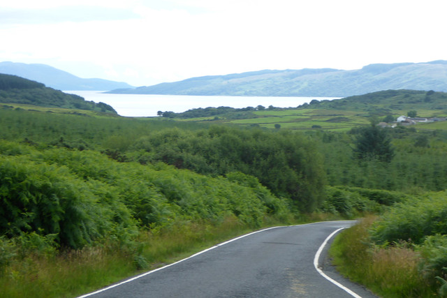
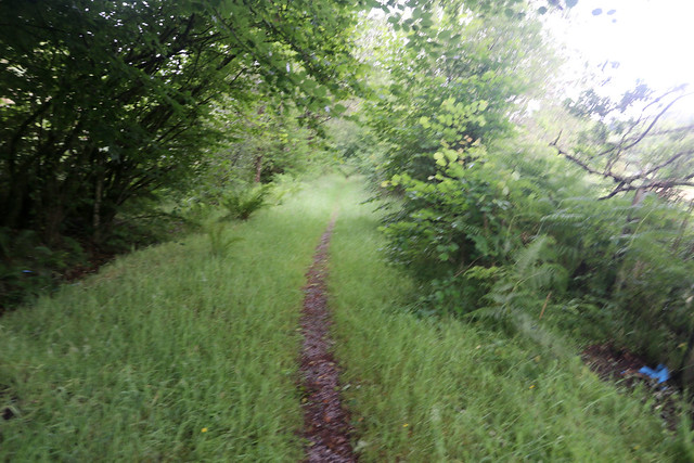
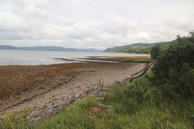
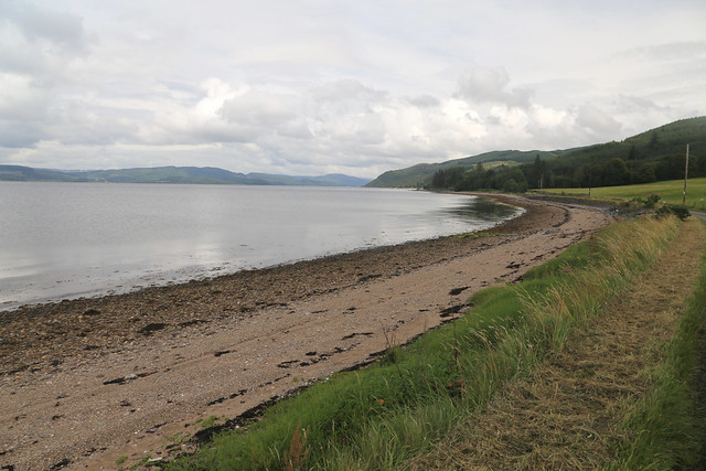
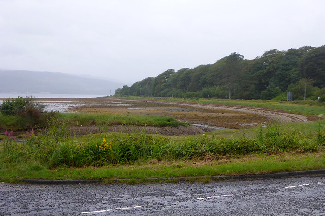
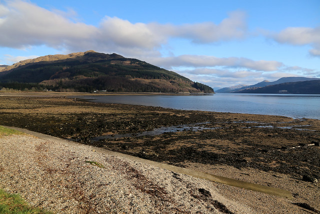
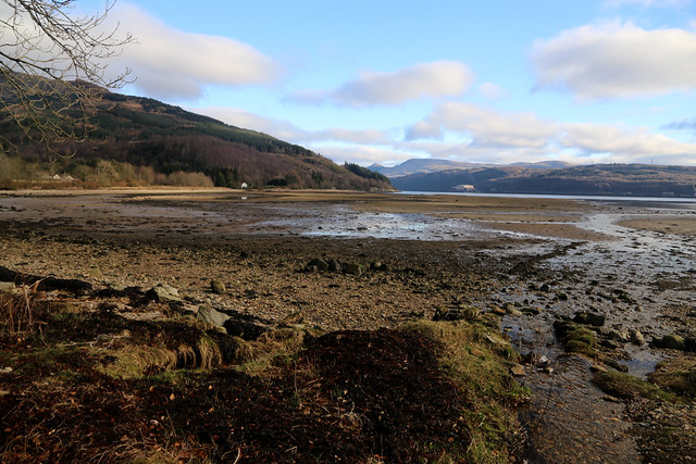
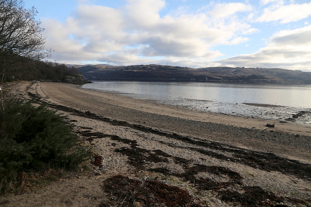
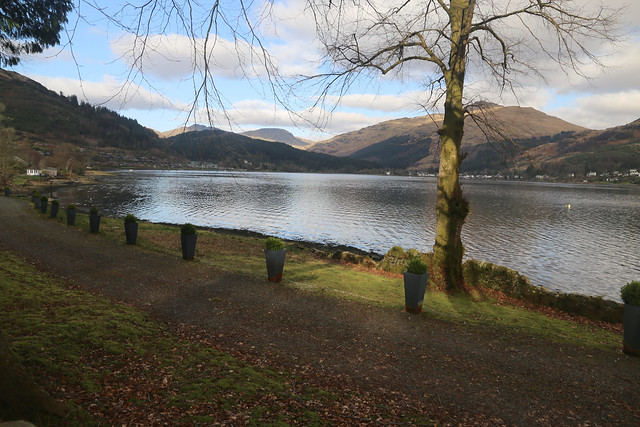
In theory my initial route is along the road but almost immediately I spot I can drop down onto the foreshore and so do just that. I followed the foreshore, mostly pebble and shingle until the road starts to turn away and so rejoin the road near a public car park.

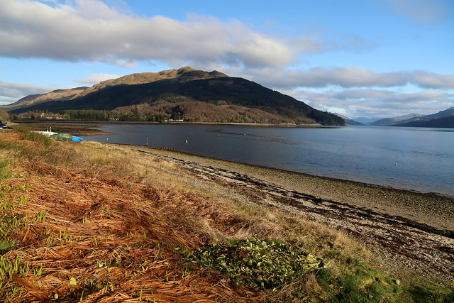
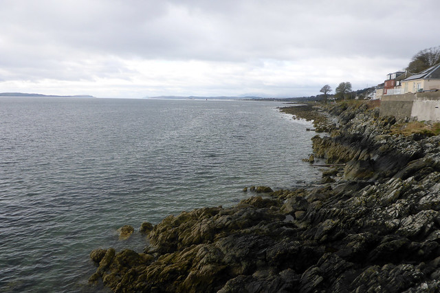
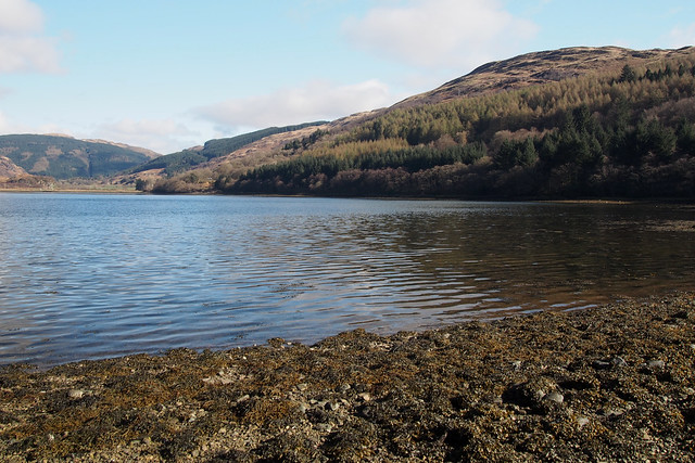
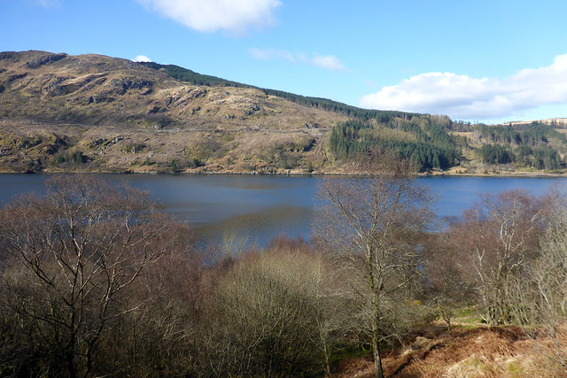
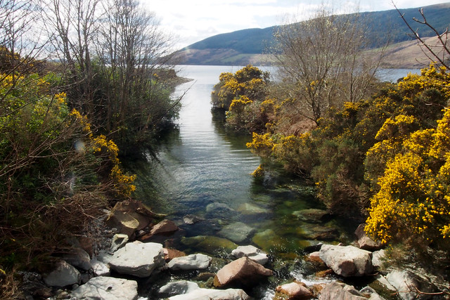
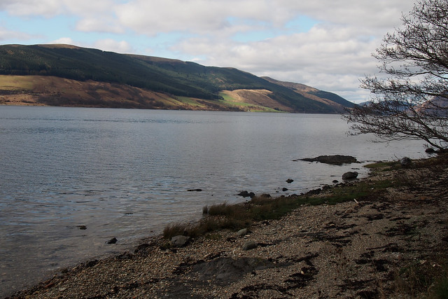
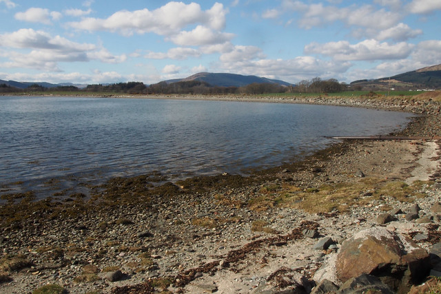
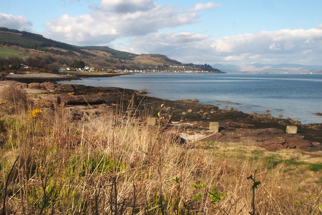
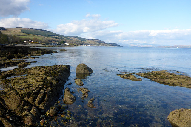
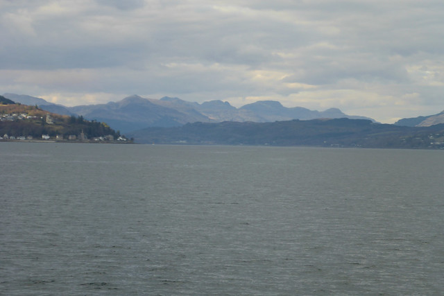
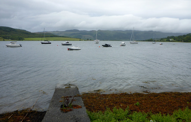
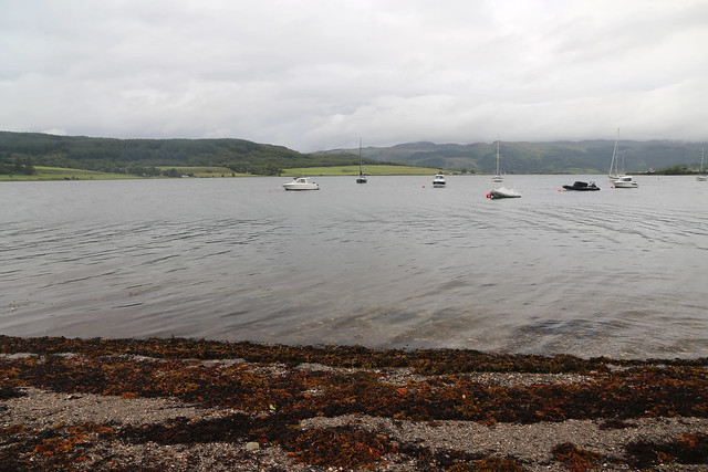
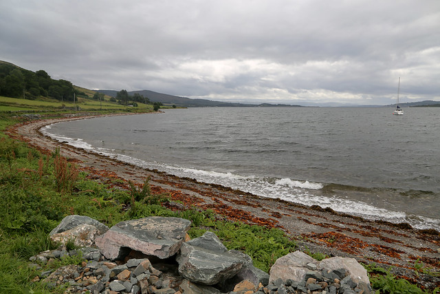
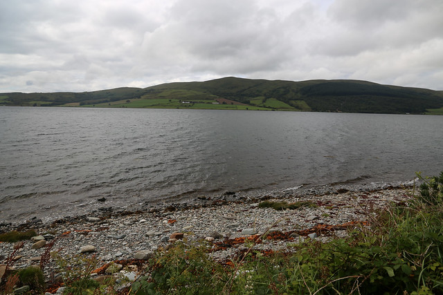
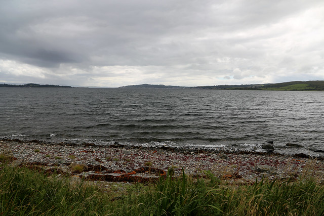
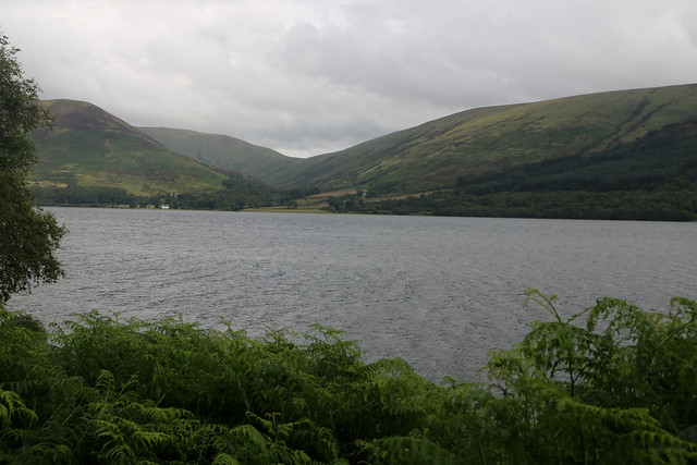
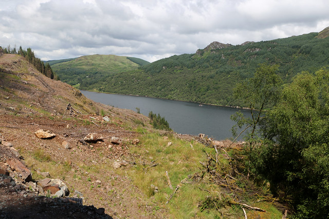
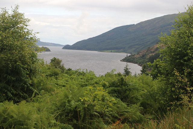
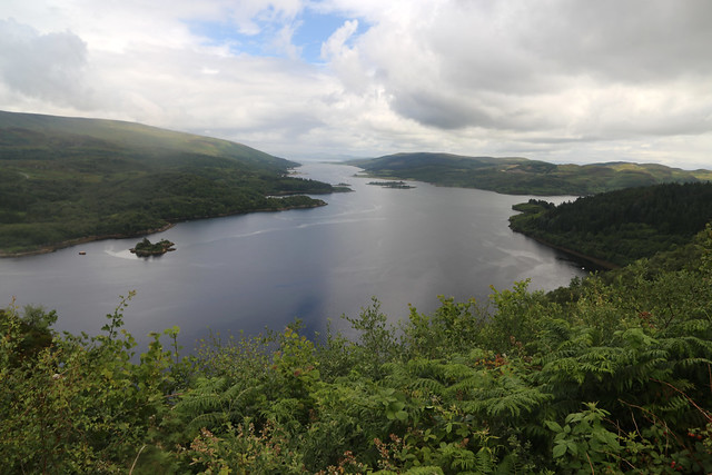
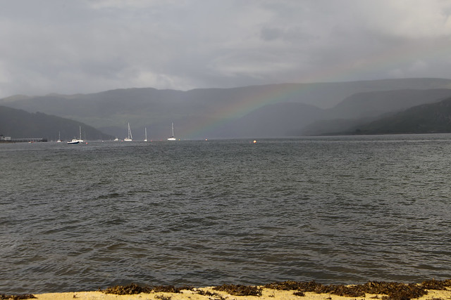
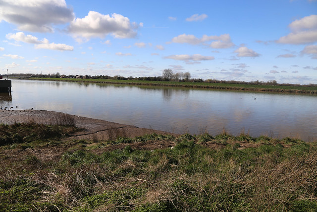
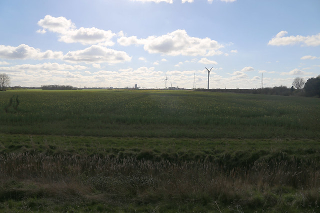
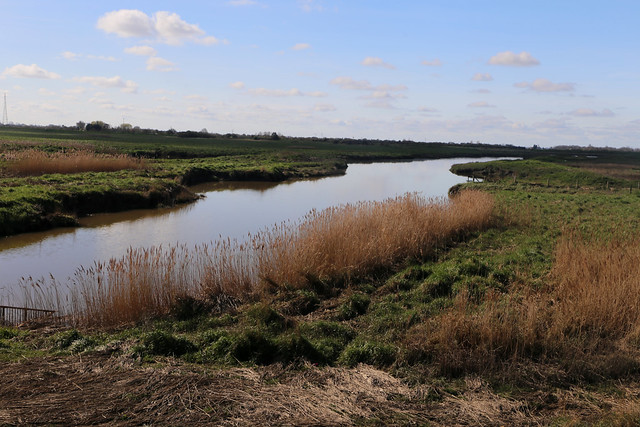
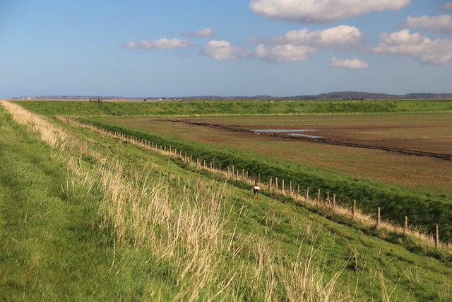
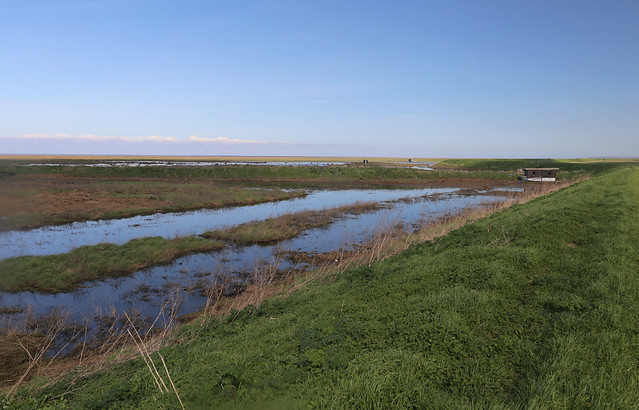
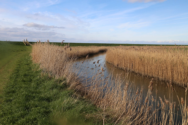
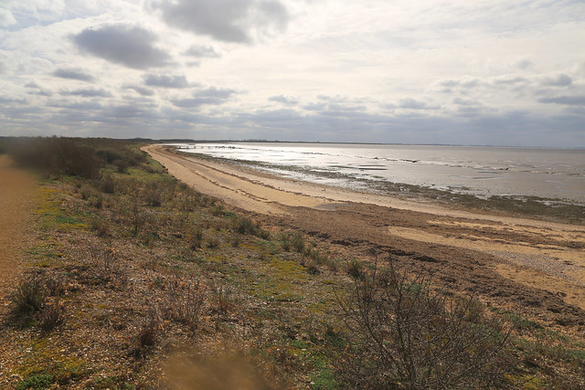
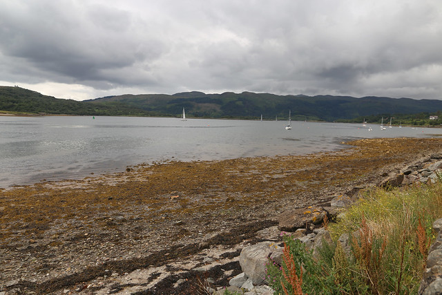
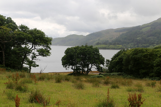
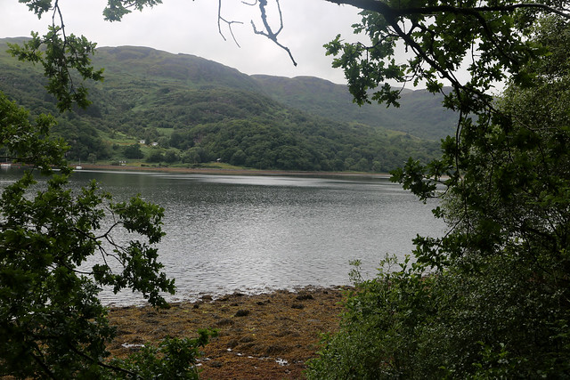
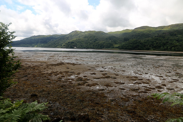
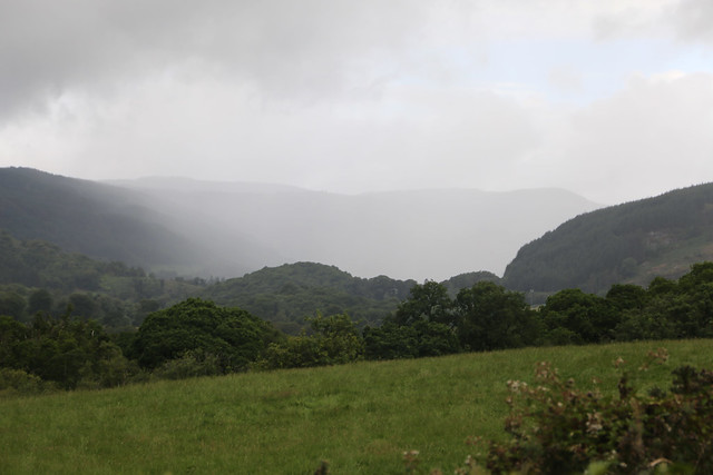
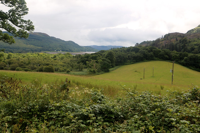
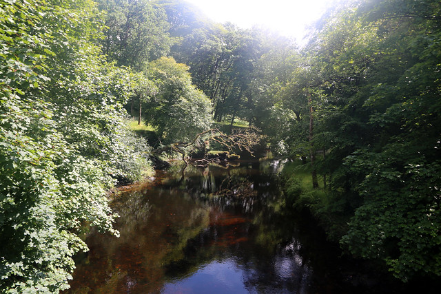
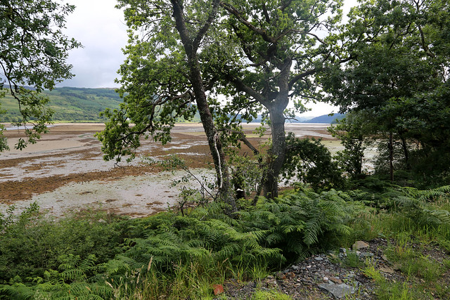
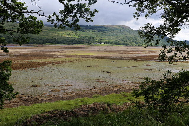
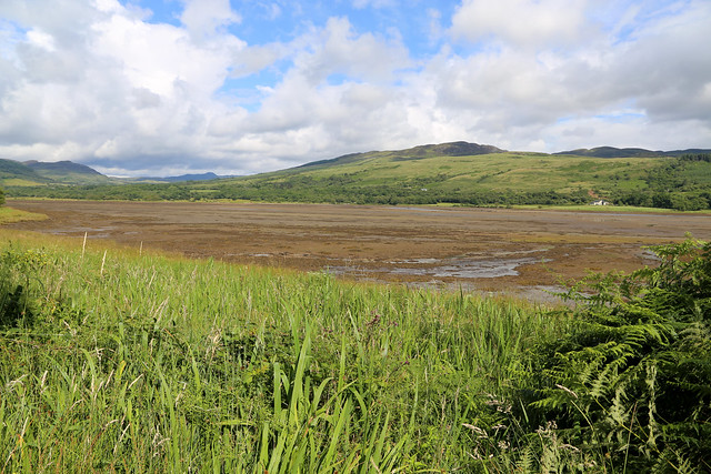
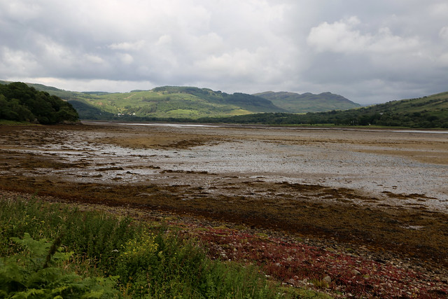
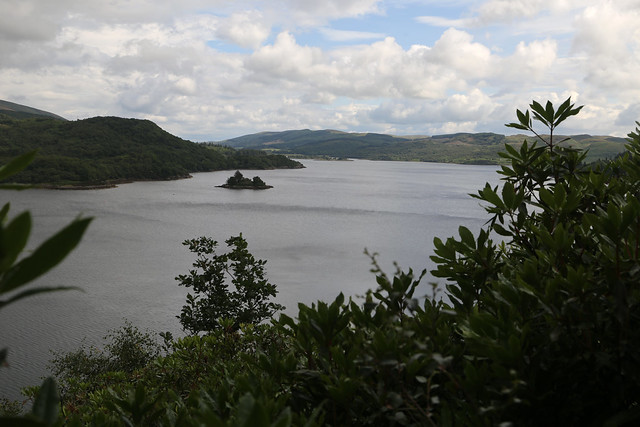
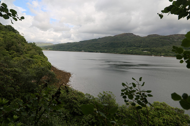
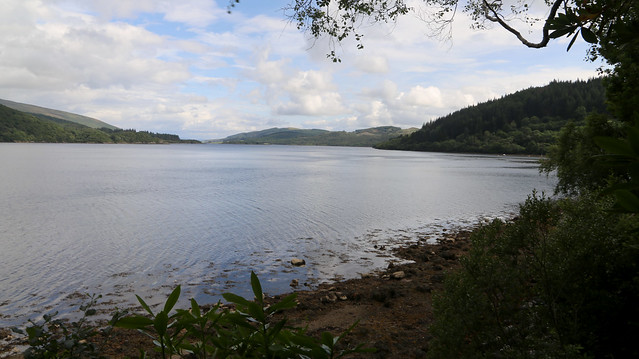
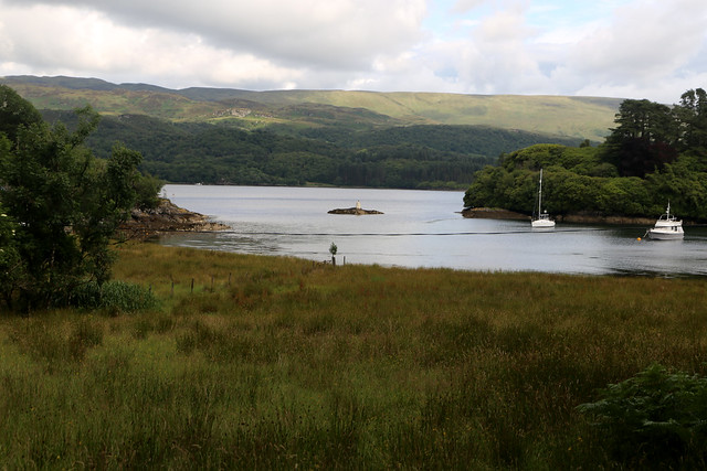
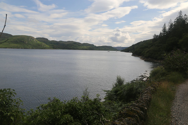
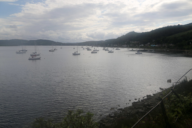
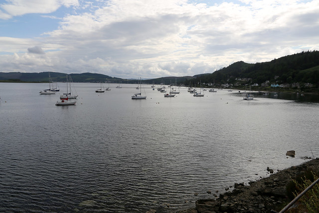
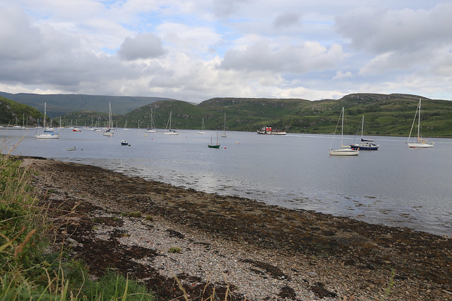
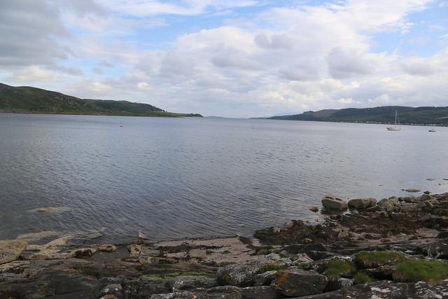
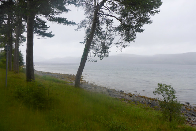
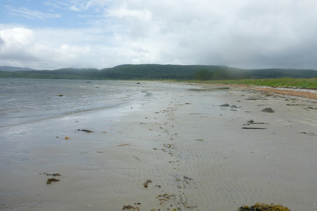
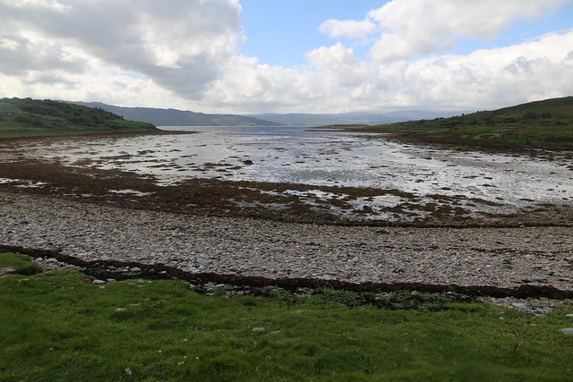
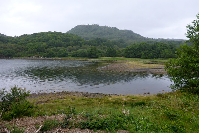
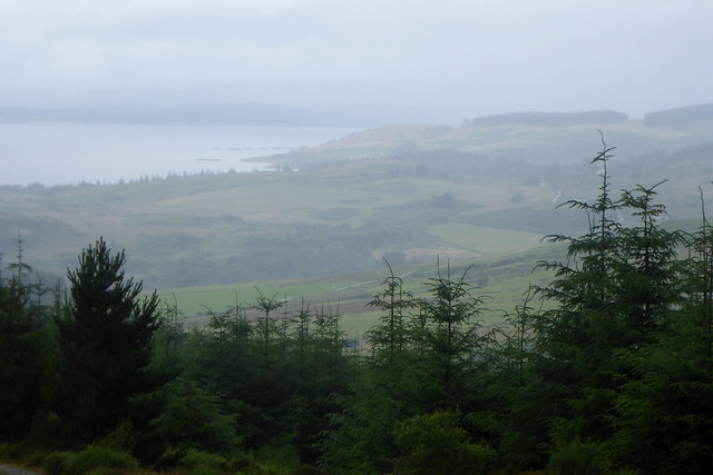
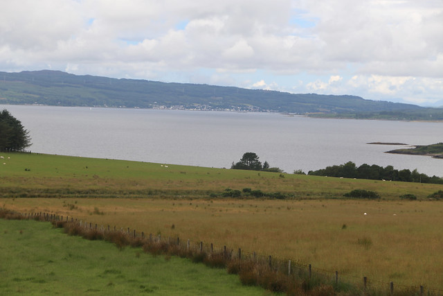
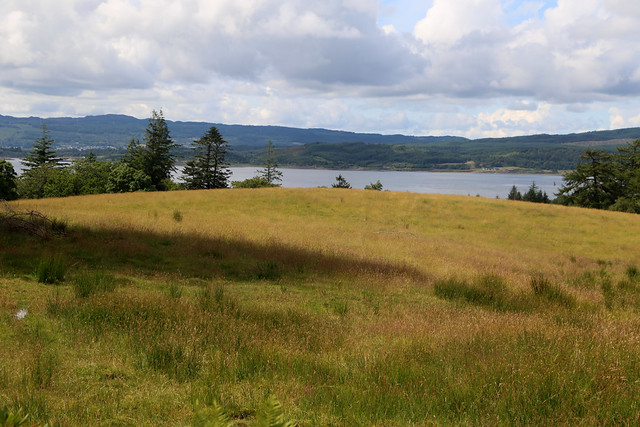
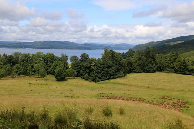
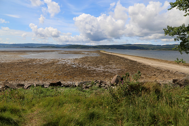
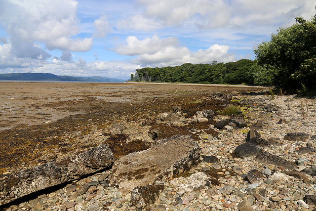
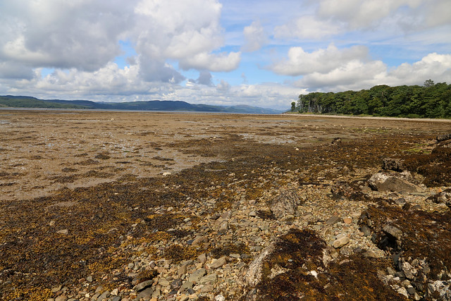
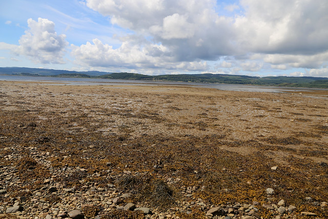
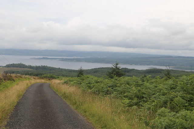
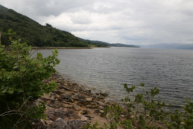
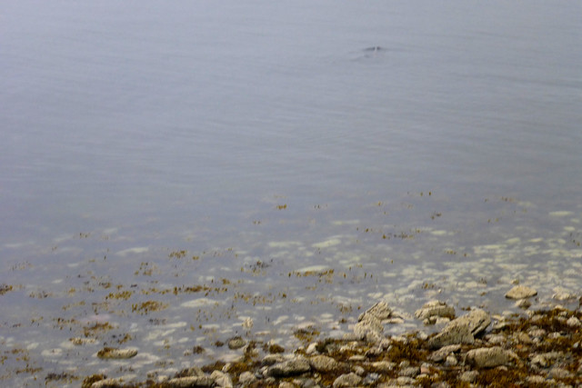
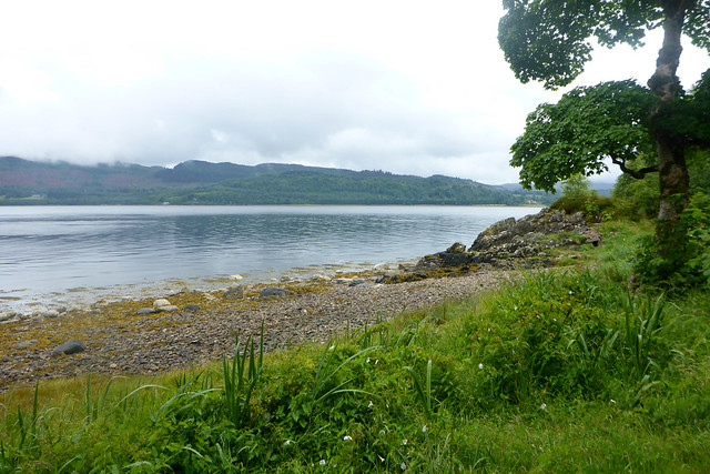
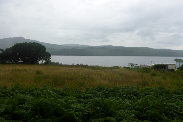
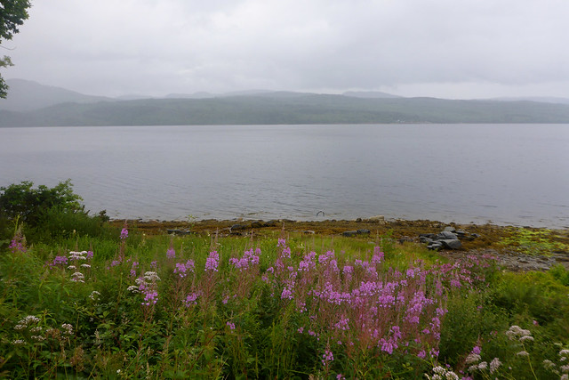
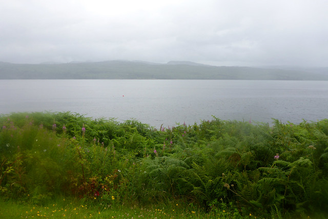
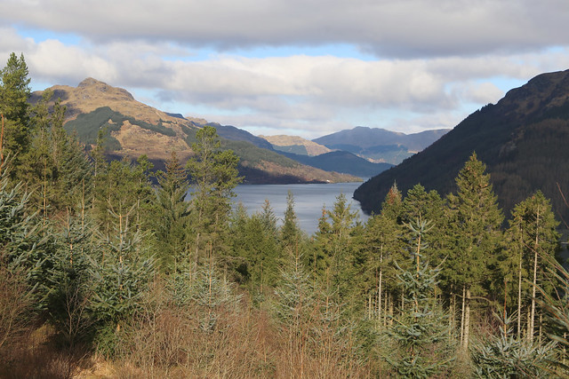
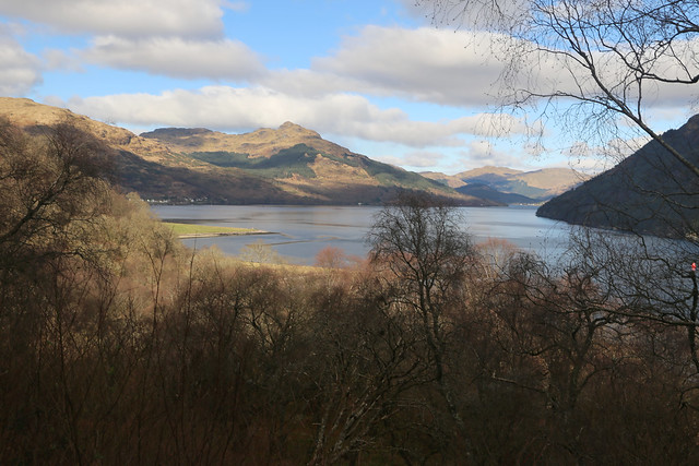
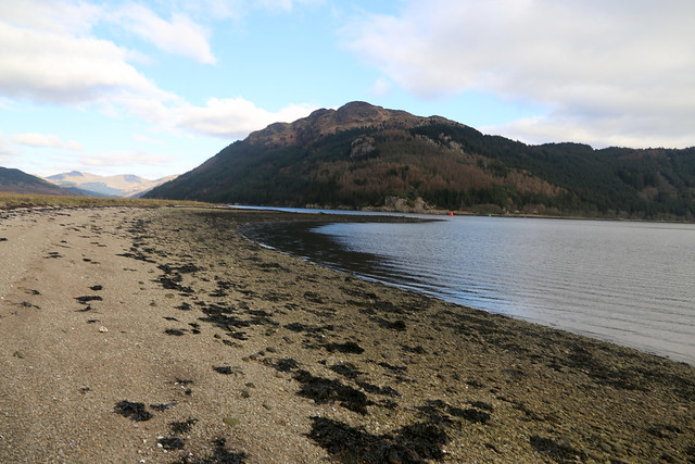
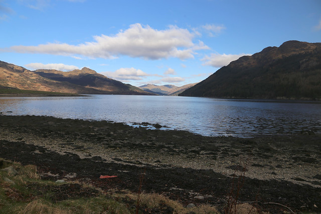
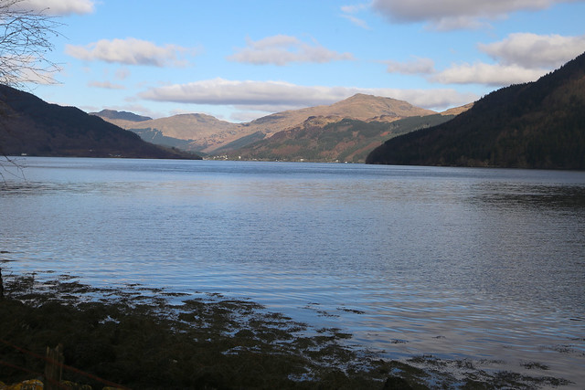
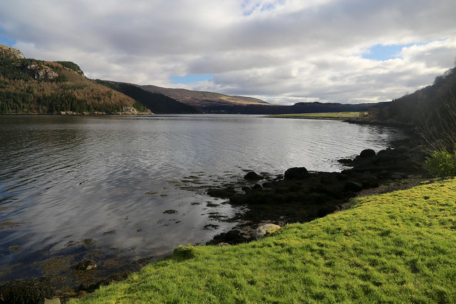
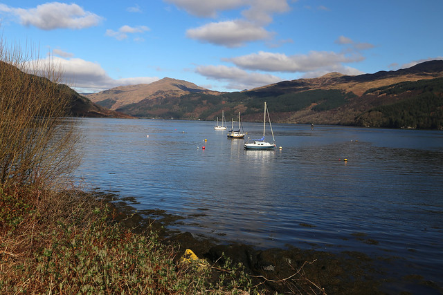
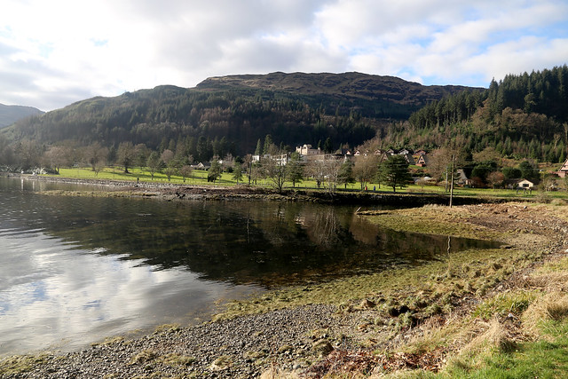
The views along Loch Long in particular are stunning.
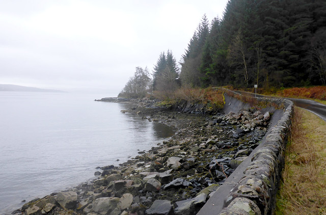
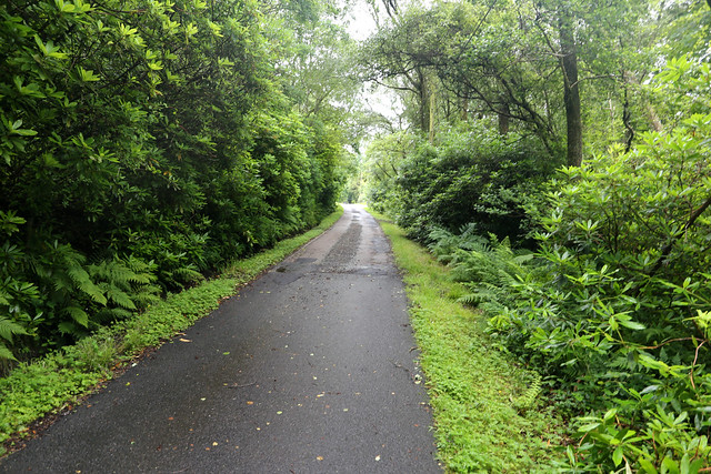
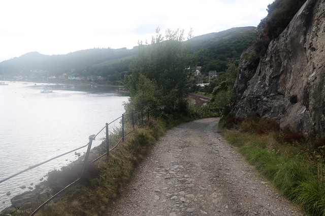
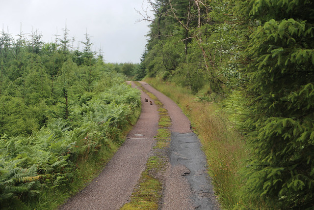
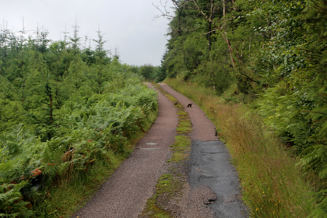
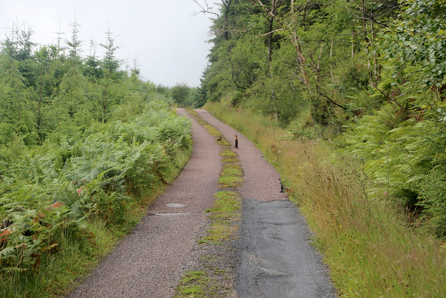
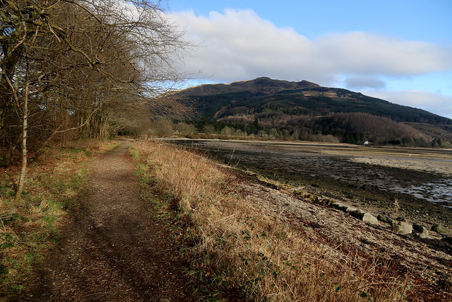
Beyond the car park I reach the start of the Argyll Forest Park where there is an information board but more important a pleasant path right along the shore.
This comes to another larger car park where there are a couple of motor homes and cars. I wonder if it’s a bit early for motor homing, it is still below 0 at night, as it was last night.
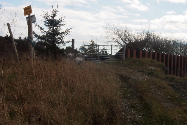
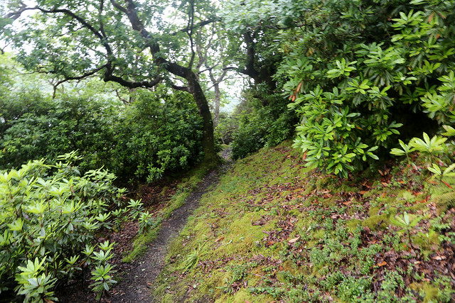
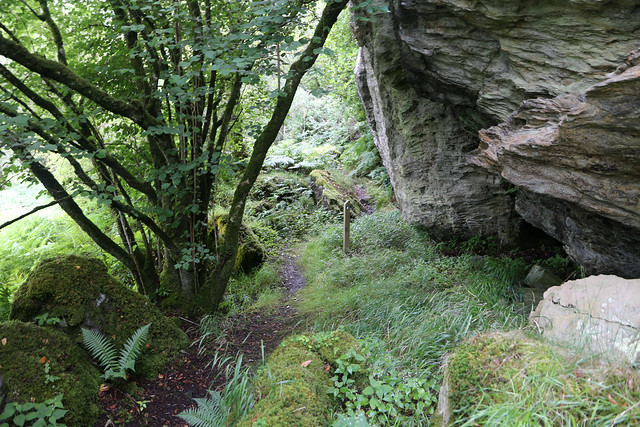
At the end of the car park there is a footbridge and some steps up. A path is meant to take me from here up to a wide wooded track.
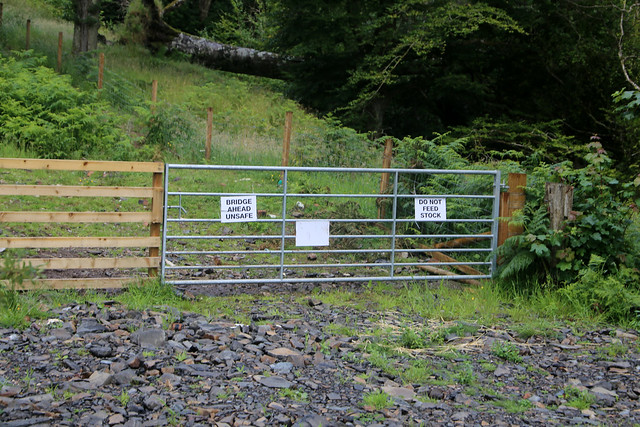
It starts off well enough but soon gets very narrow and is then blocked by a fence. I try going to the left but have to go a long way to get to the end of the fence. Checking the map I realise I am now too far west of the route of the path but also at a fence that isn’t even marked on the map. I head back but at the point the path is supposed to go through it’s completely blocked by the fence. I have to go left, to get past the first fence then try to head back on course. The map shows a second fence with a gap where the path is meant to go through. I do find a gate but it’s a fair bit to the right but this does take me to a proper path up to the forestry track with another gate to go through onto that track.
At last a proper path! I regret slightly taking this path I should have taken the longer and less coastal route to get onto the start of the track (via Stronvochlan), but it’s too late for that now.
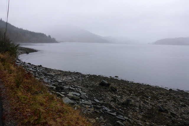
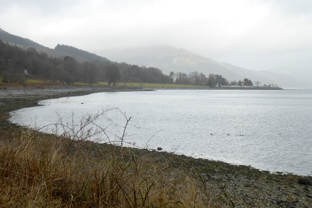
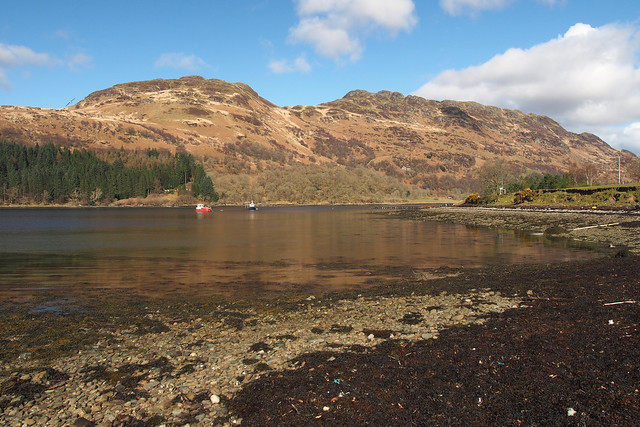
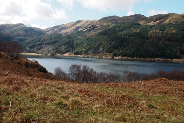
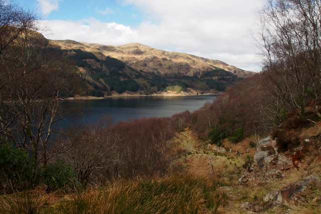
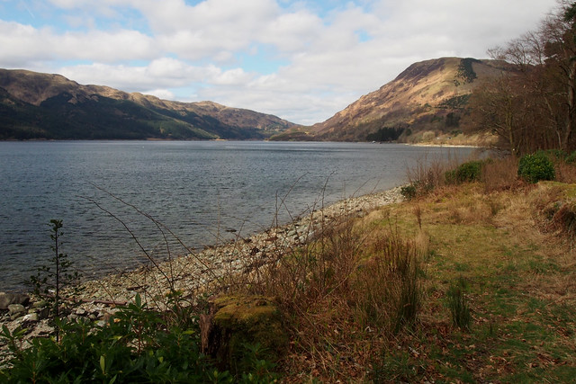
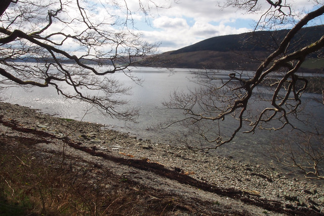
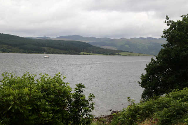
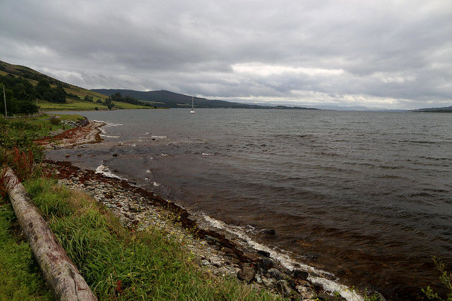
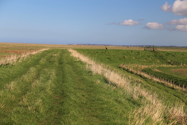
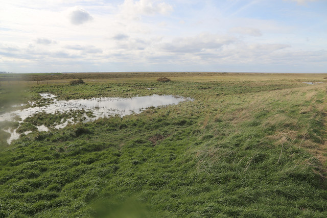
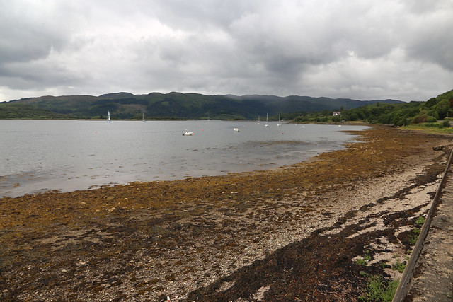
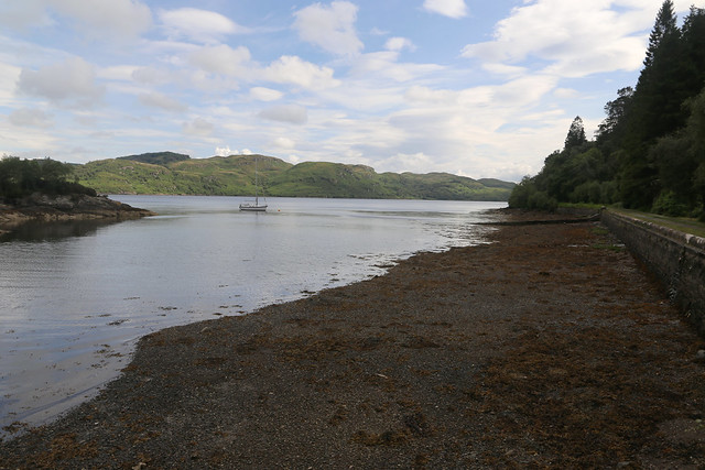
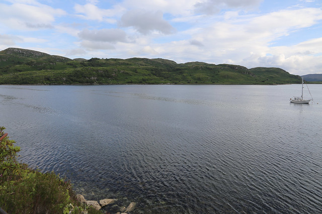
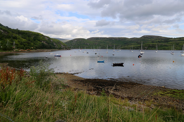
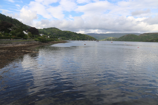
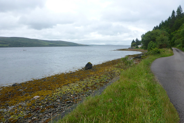
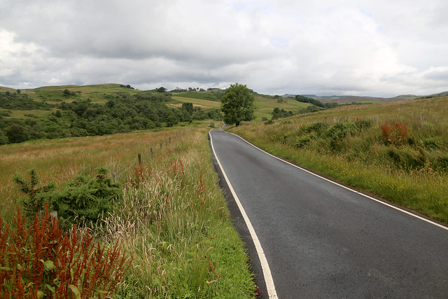
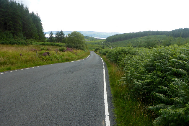
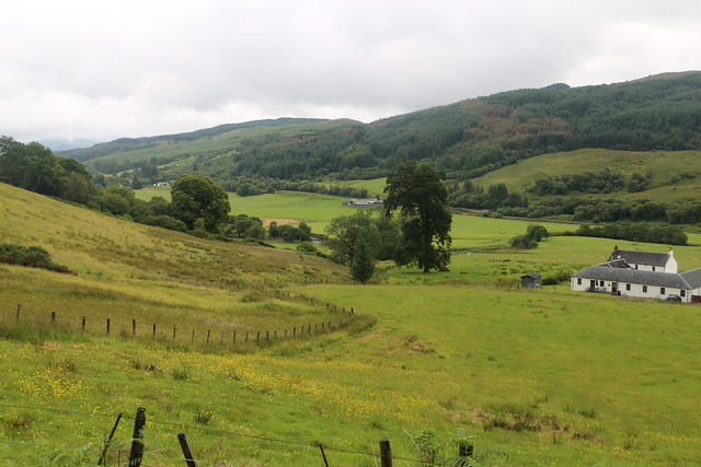
Still the height gained makes for a lovely view back along the loch.
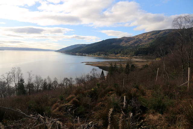
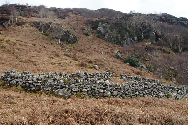
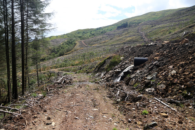
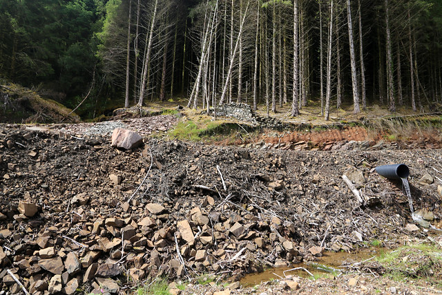
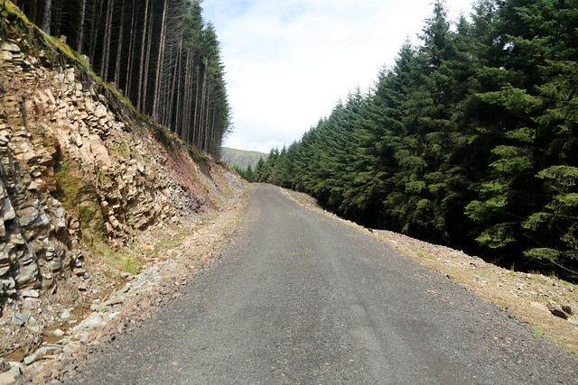
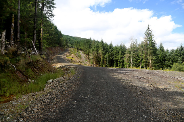
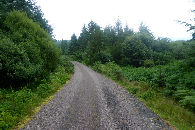
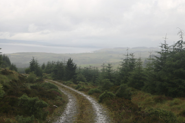
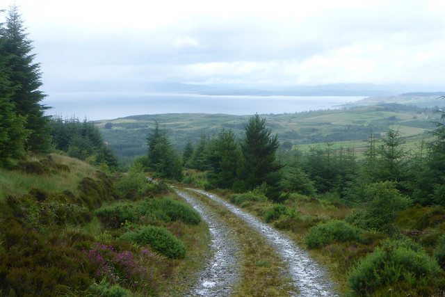
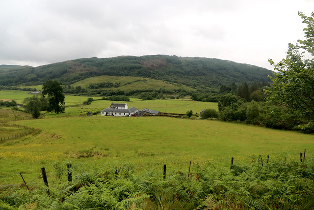
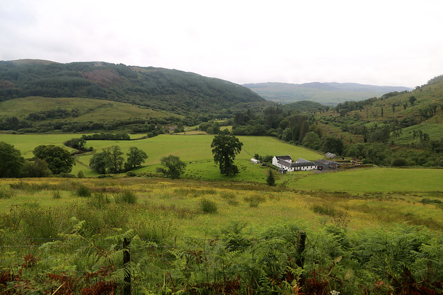
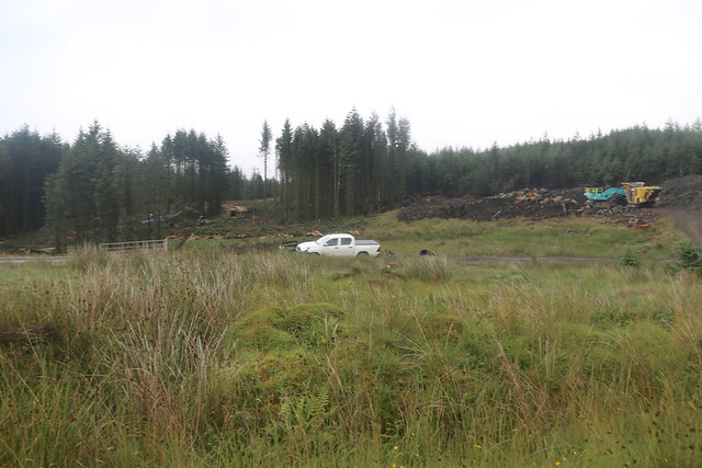
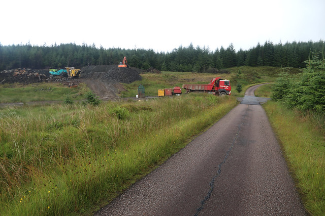
The track however soon drops back down to sea level again as I approach a placed called The Knap. There has clearly been recent work on several parts of this track and I can see evidence of parts of the track being relayed.

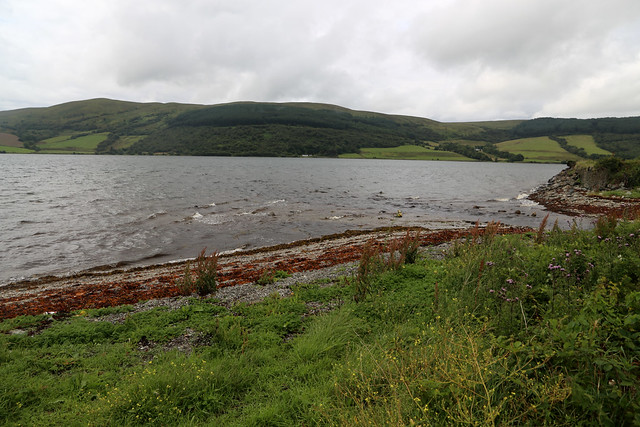
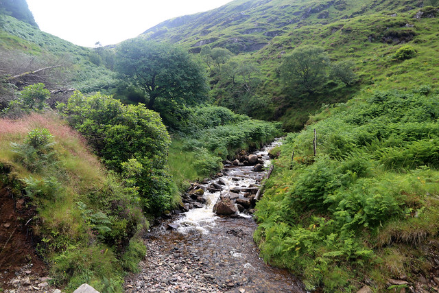
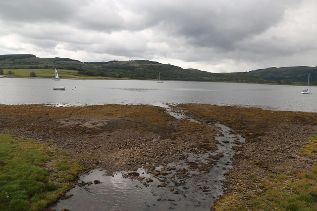
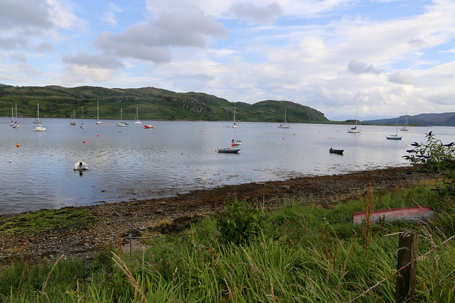
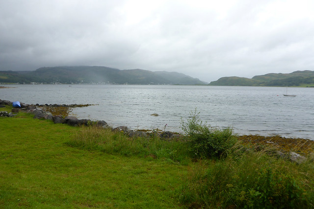
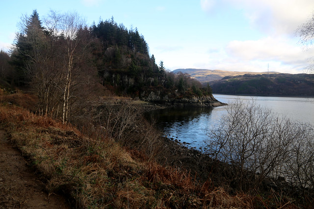
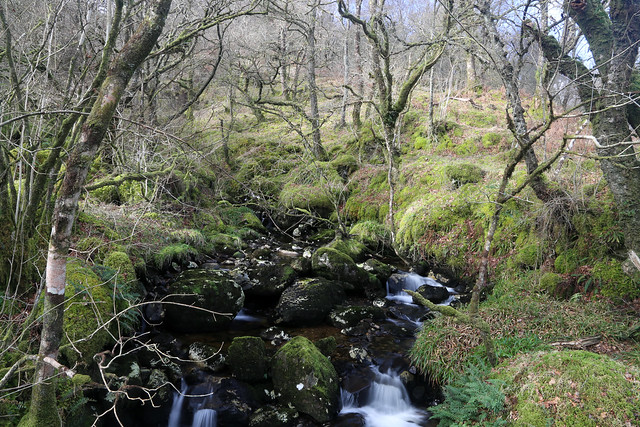
Heading north the path continues close to the shore to Toll a Bhuic and here I can see from the map the track now passes under power lines and then zig-zags up. Well I can see I am near the power lines and sure enough the track soon starts to turn more steeply.
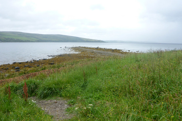
The map shows it soon ends but about 100 metres before this there is a path on the right which will take me back to the shore and onwards to the next public road near Carrick Castle. Well I continue looking very closely for a path on my right but I see nothing. I’m soon surprised to hear voices and rounding a corner there is a pick up truck and some workers in high-vis jackets. They stop working and shout ahead to warn another worker I am coming. I ask if it’s OK to walk through and they turn out to be friendly (I was a bit worried I was about to be told there was work going on and it wasn’t safe to continue). I guess I know why the track had been recently re-surfaced now! They tell me the track ends soon (which I know) and I re-assure them I know to take a path on the right soon. They tell me it is signed but still easy to miss so keep an eye out for it and comment that it’s a lovely walk and they are sure I will enjoy it. This is good to know! They tell me they are just clearing up from work done yesterday so don’t mind me coming through.
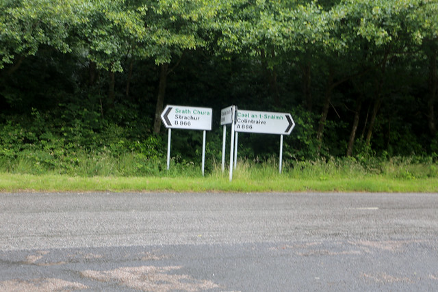
I continue on the track but expected to see the path about 50 metres later. There is no sign, but the track is also meant to end about 100 metres past the path and it hasn’t. I checked on the OS App on my phone to get my exact position. Here I notice that the paper map I am carrying and the version on my phone don’t match. This is odd because the version I have on my phone is essentially a “free” add on with the paper map (they come with a scratch off code allowing you to also download the map on your phone for use via the app) so I assumed they would be the same. But the map on my phone shows the path turns off where I thought it did, but the track continues further than is shown on the paper version of the map I am holding and it intersects with the path a second time. So I keep on the track and at the second point the path is mean to turn off the track, this time it does. Fortunately I also spot the sign which is quite visible – to Carrick Castle.
(It is odd that the OS App appears to be less up to date than the paper maps….).
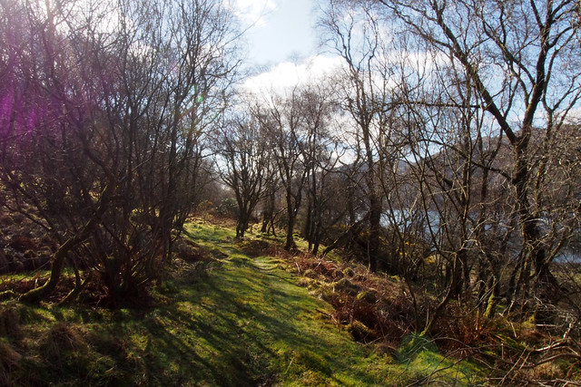
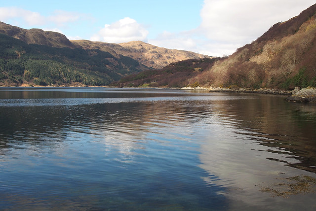
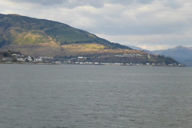
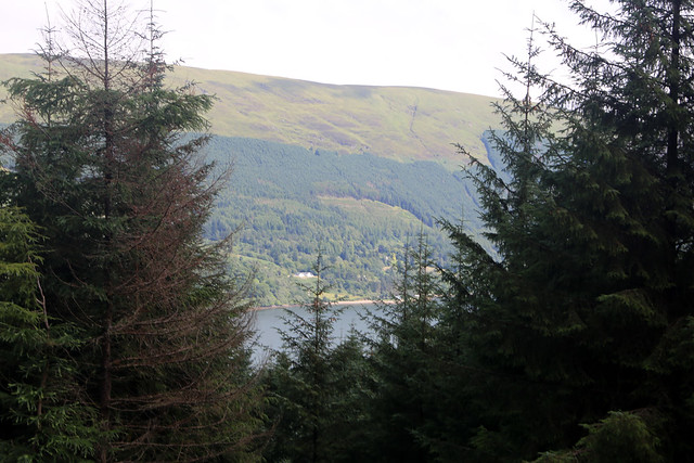
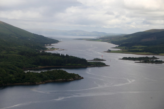
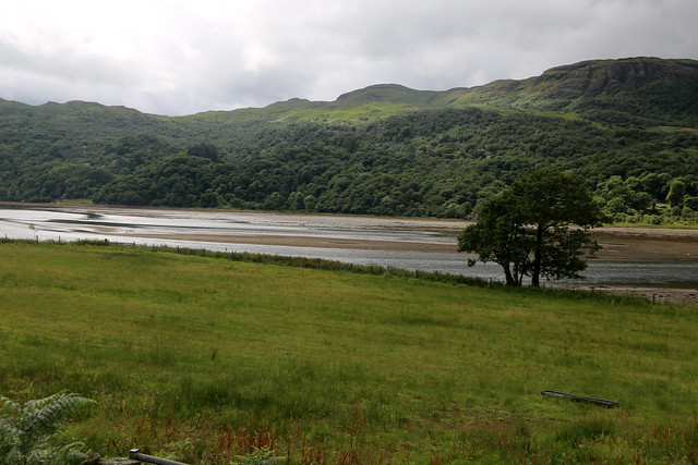
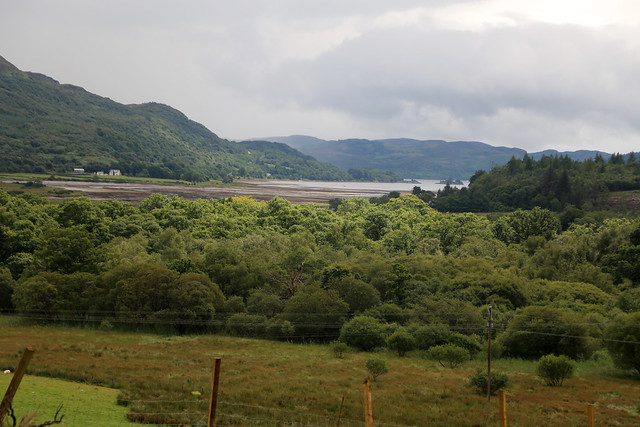
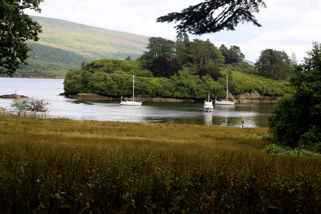
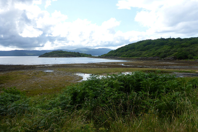
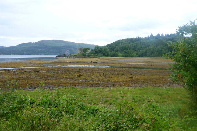
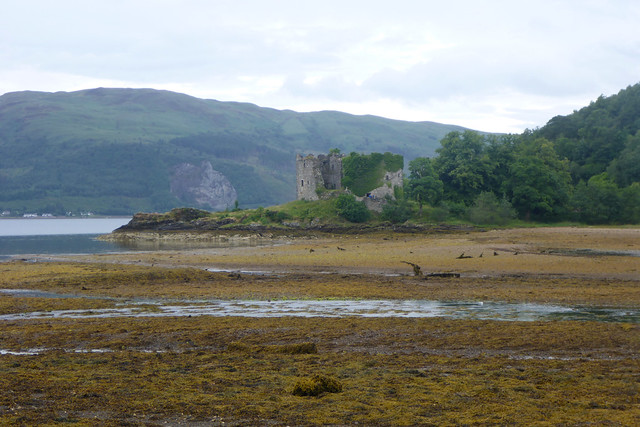
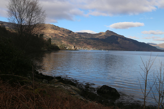
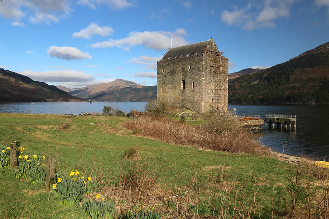
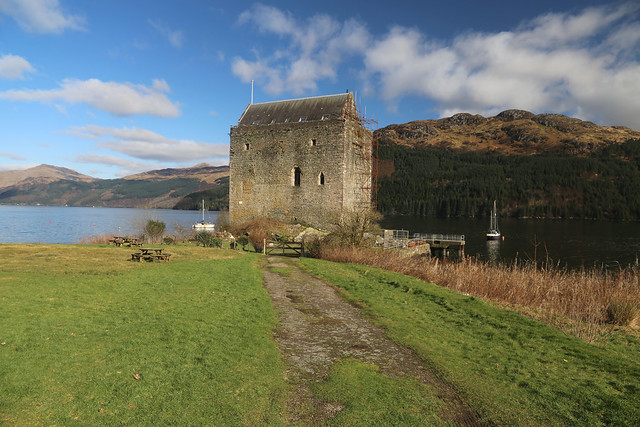
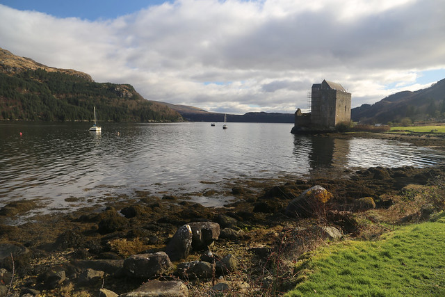
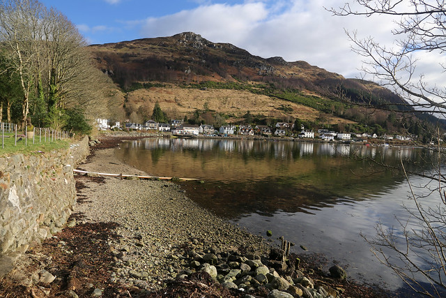
The path descends, at times quite steeply through trees and I can see through gaps in the trees the village and castle ahead and it looks absolutely gorgeous.
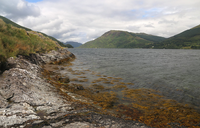
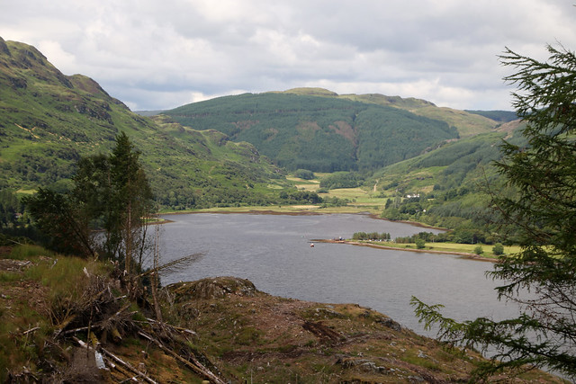
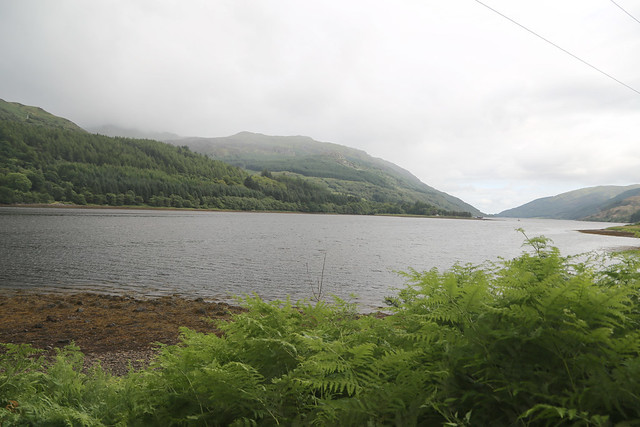
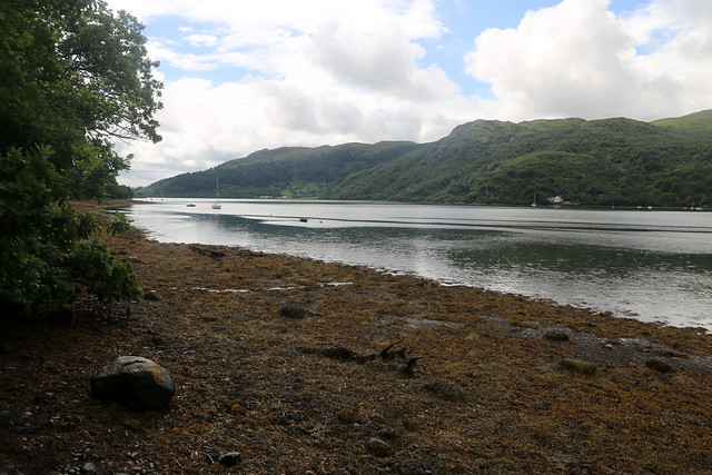
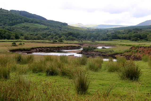
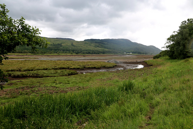
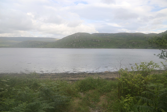
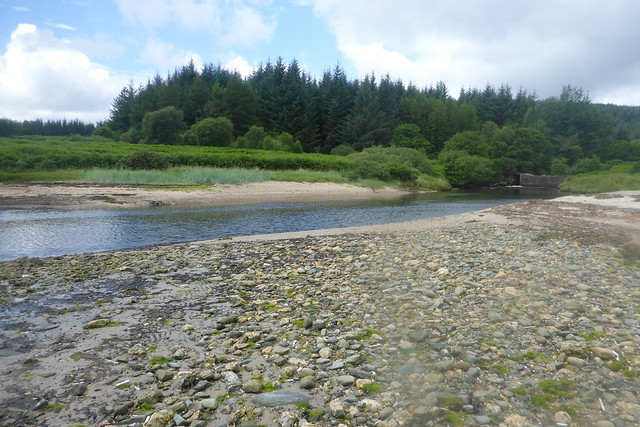
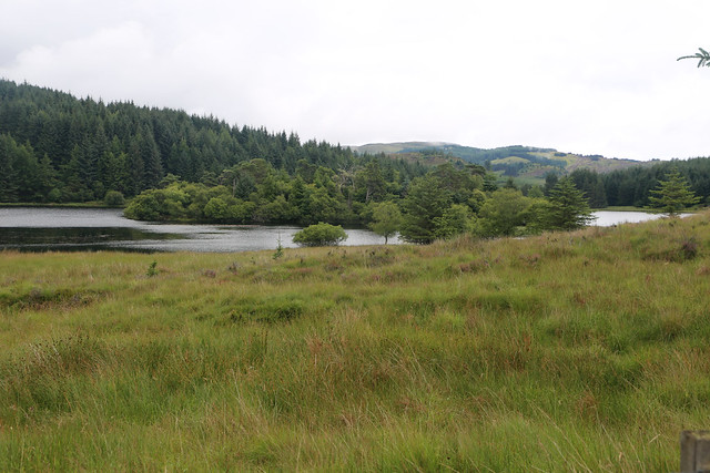
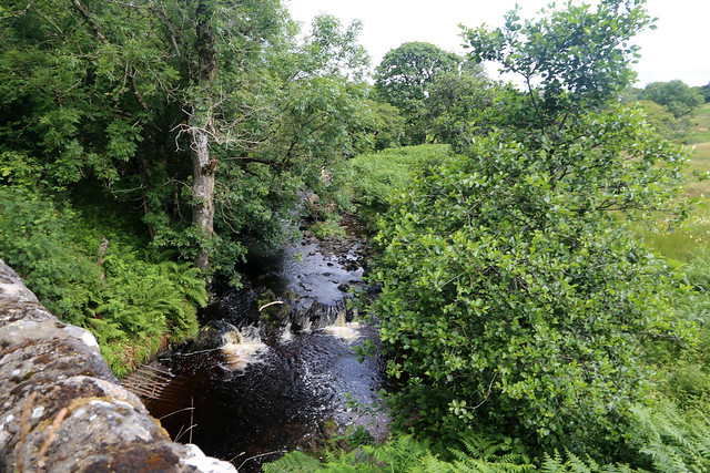
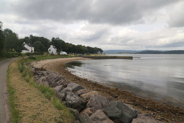
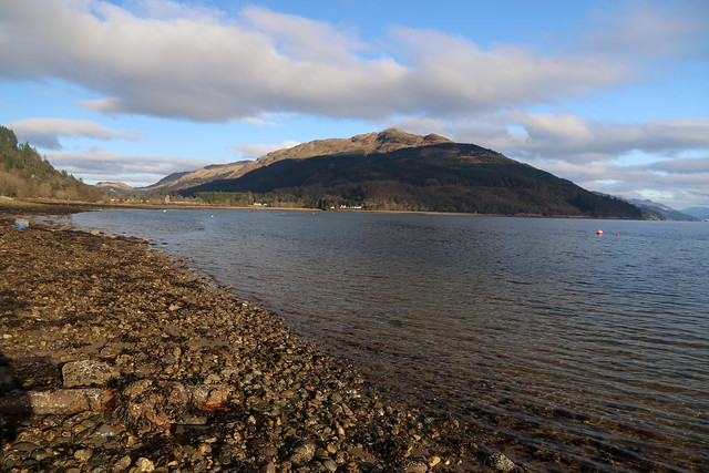
Whilst I’ve been in the woodland I’ve turned left into the smaller Loch Goil and Carrick Castle is the first settlement on the left side of the loch. The path zig-zags down and at the bottom a fairly substantial bridge (by the standard of a footpath) crosses the river.
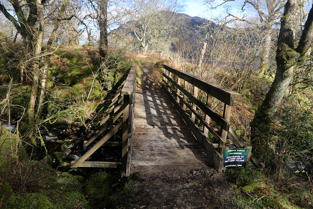
A sign next to it tells me it was constructed by a “Queens UOTC Northern Ireland” in 1989. (I have no idea who or what that is, but later find this is part of the army). Well for a bridge constructed back in 1989 it seems in very good condition, as does the sign.
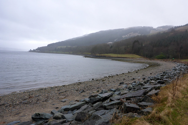
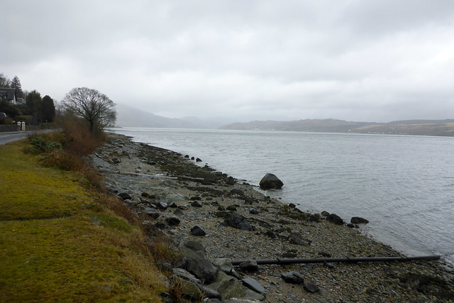
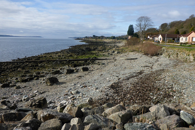
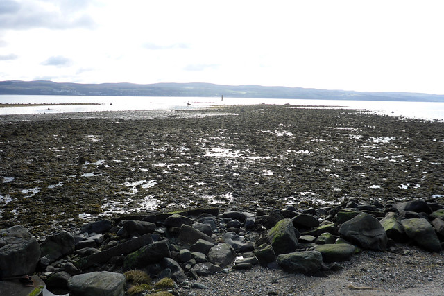
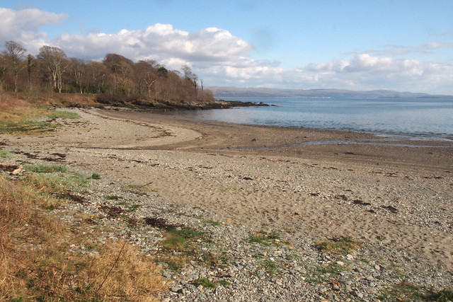
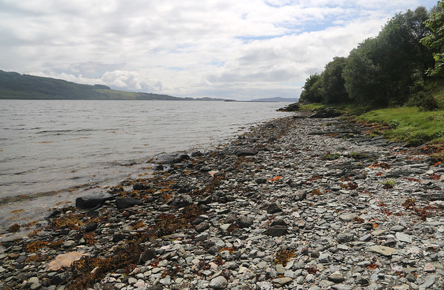
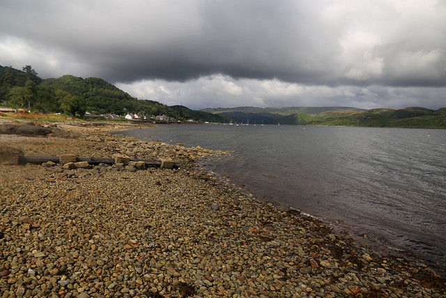
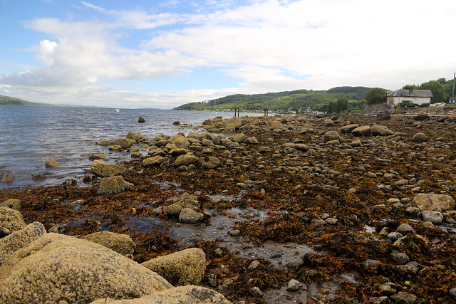
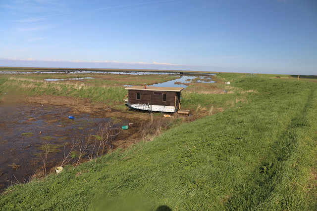
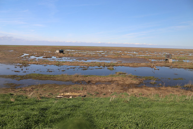
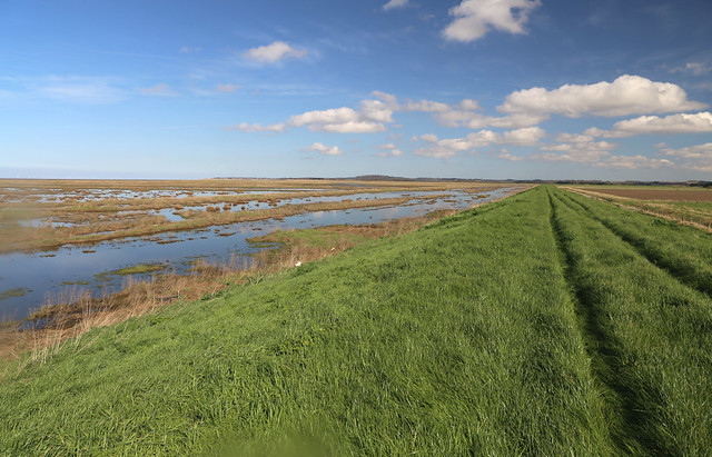
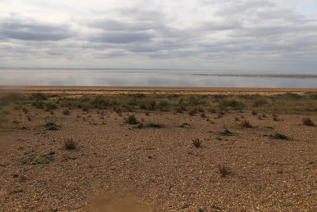
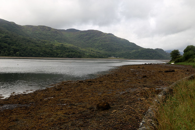
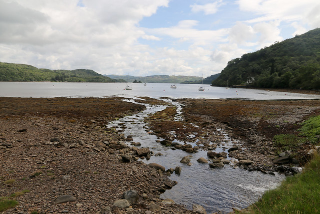
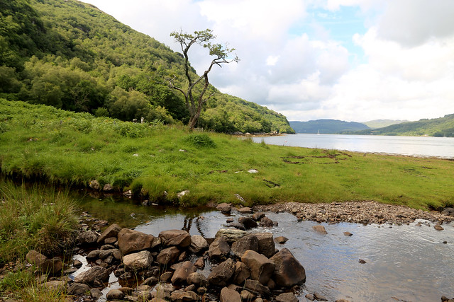
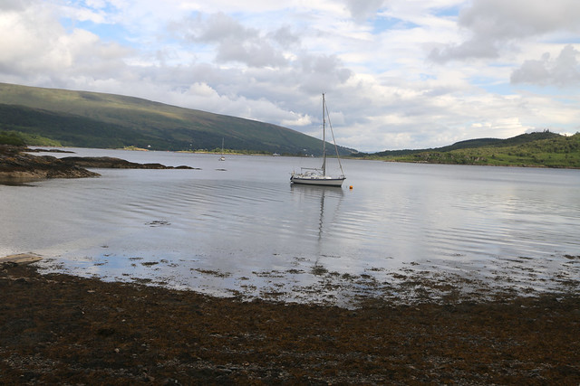
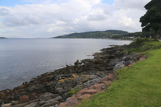
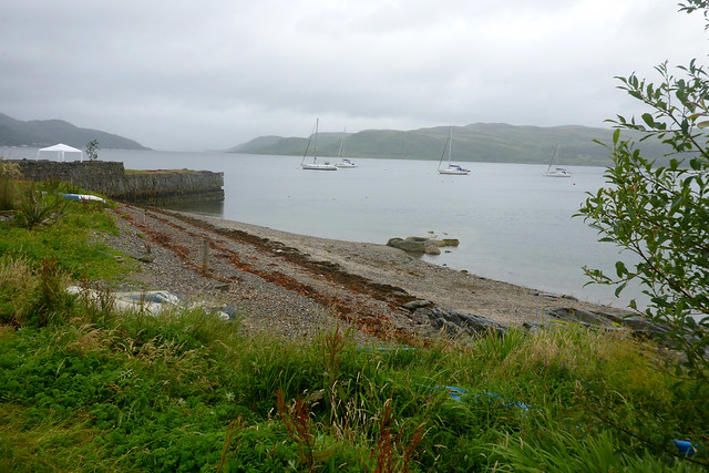
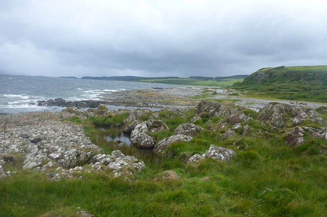
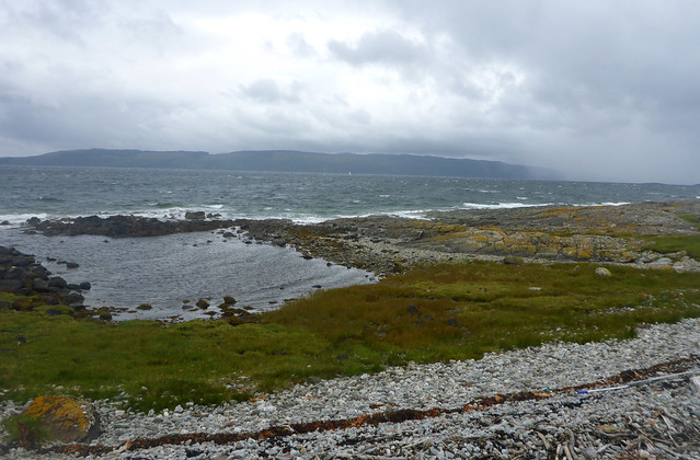
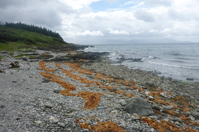
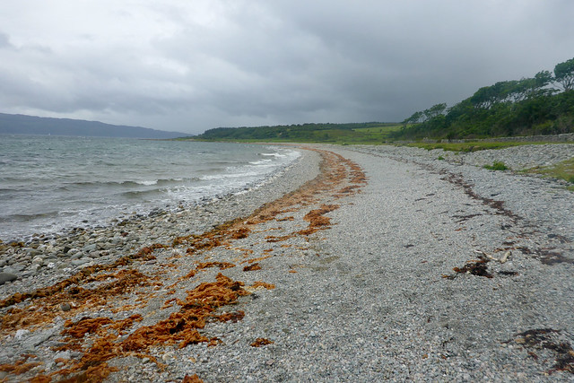
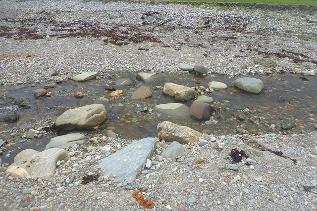
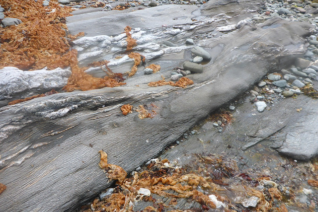
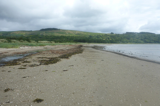
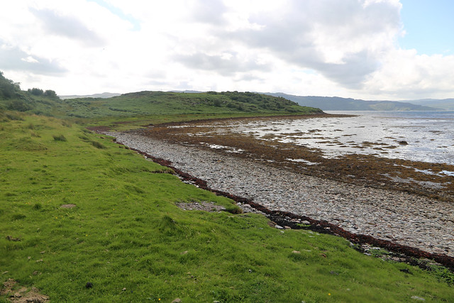
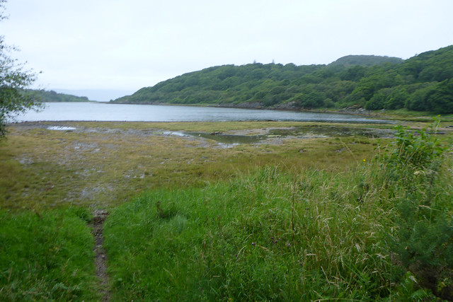
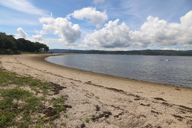
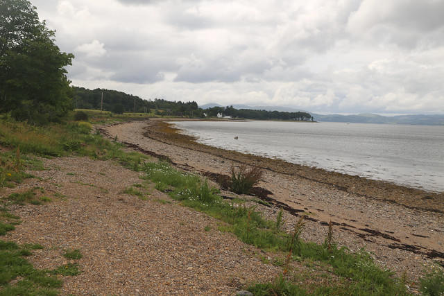
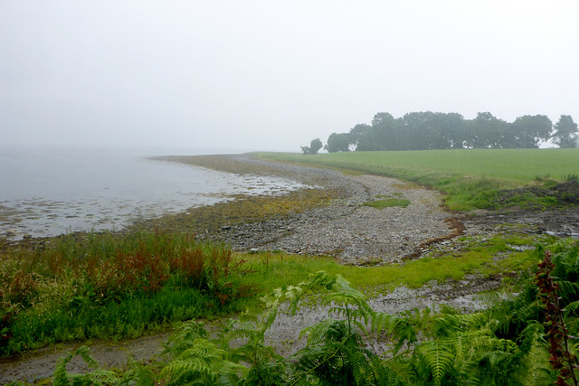
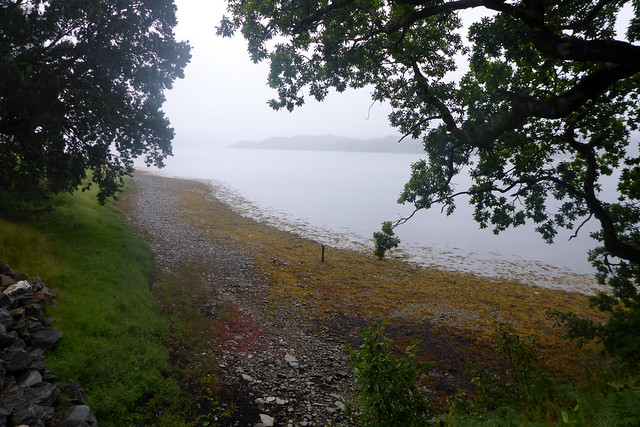
The path now runs along the back of woodland with a shingle beach to my right, annoyingly, fenced off from the path.

There is a small grassy peninsula to my right (Roinn Diomhain) but I keep to the path along the back.
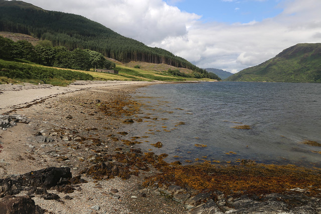
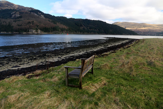
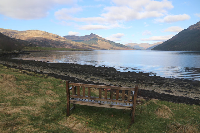
At the northern part of this the fence has been knocked down by a fallen tree, so I use this to my advantage to get down onto the beach without having to climb the fence. I am eyeing up this beach as my lunch spot, wanting somewhere dry (and hopefully tick-free) and in the sunshine to sit and have lunch and the beach fits the bill. I notice some wood on the grass at the back of the beach ahead and wonder if I might be able to sit there. As I get nearer to my surprise I find it’s a wooden park bench that has fallen over (or more likely blown over in the wind at some point) and obviously been like that for some time. I pick it up (the grass under it has died, so obviously been like that for some time) and am pleased to have a proper seat for my lunch. I wonder who put it here and why, it doesn’t say and it’s not a garden or even near a house.
Anyway I have a lovely lunch here and then head back onto the path.


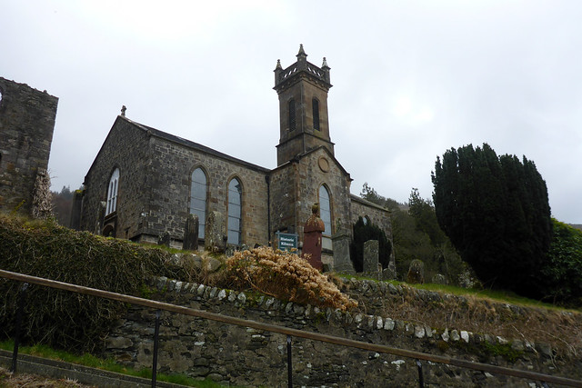
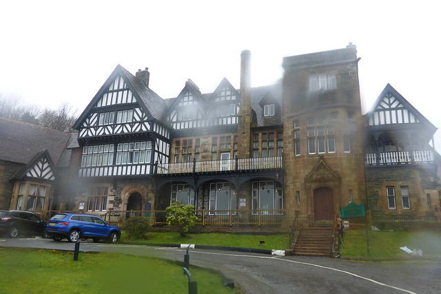
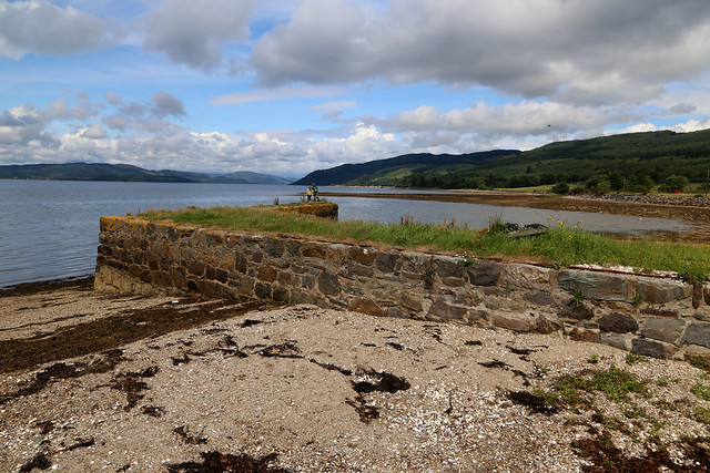
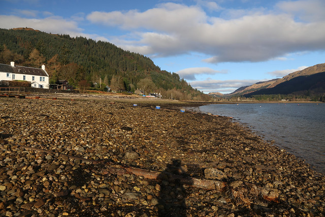
This soon comes to the end of the public road and I can see the castle ahead. The castle is an impressive structure with the keep largely intact and a ruined part behind that. Unfortunately it is now in private ownership and I think lived in, so there isn’t the possibility to visit which is a shame, but it’s beautiful to look at.


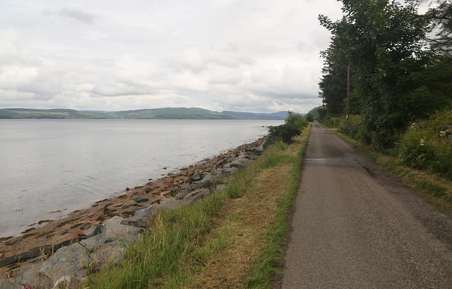
I continue along the road now right by the shore. Soon a couple of men pass carrying a wooden park bench! I am curious why and try and fail to think of something witty to say so just say hello instead and keep to one side to make room for them to pass. Perhaps that is how the bench I sat on for lunch got where it did!

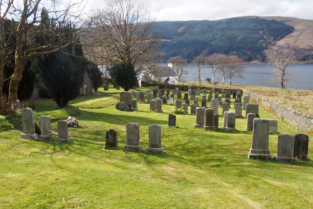
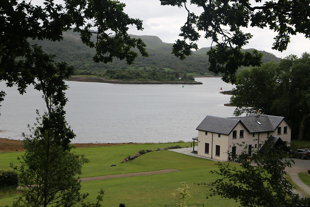
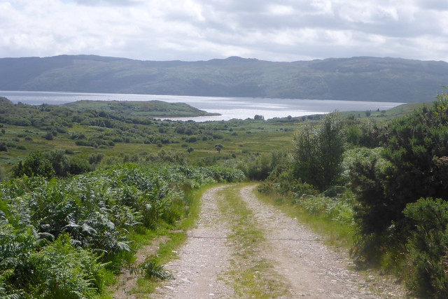
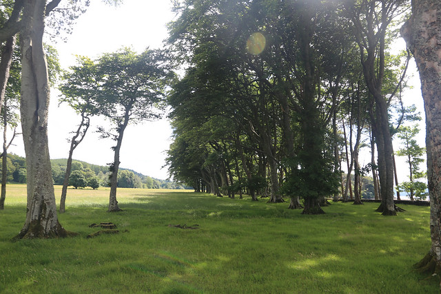
Carrick Castle (village) is quite a small village but all spread out along this single road so it actually is about a mile long! At the end of the village the road enters woodland and somewhere here I enter the Loch Lomond and Trossachs National Park though there isn’t a sign.
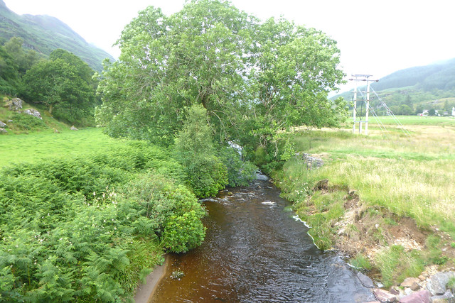
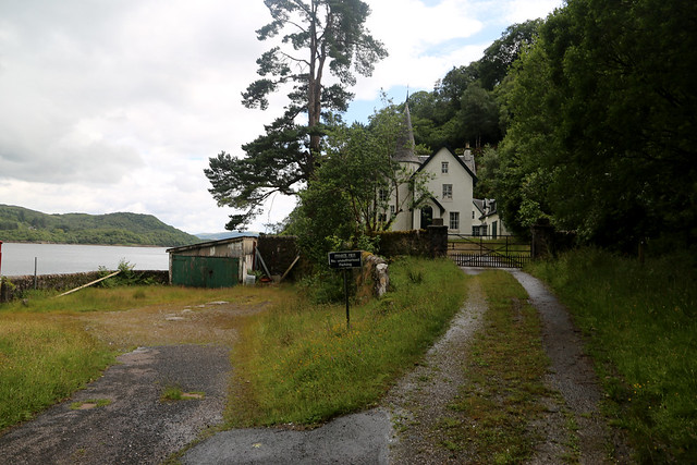
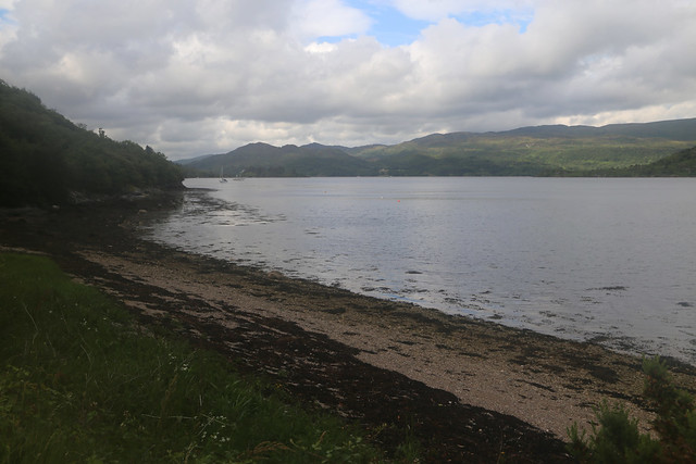
The road crosses a bridge at Cormonachan and there are a few isolated houses to the right.
There is a surprising amount of traffic along the road and as I continue ahead a few people walking and a queue of cars with someone in a high-vis jacket standing in the road. Initially I think there has been an accident but as I get closer I realise there is some sort of event on in this building (The Lodge). The car park is full (and the building is full of people, as the door is open so I can see inside) so presumably they now have to find somewhere else to park. I continue passed some more walkers and this hive of activity and continue along the road.
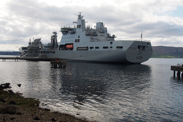
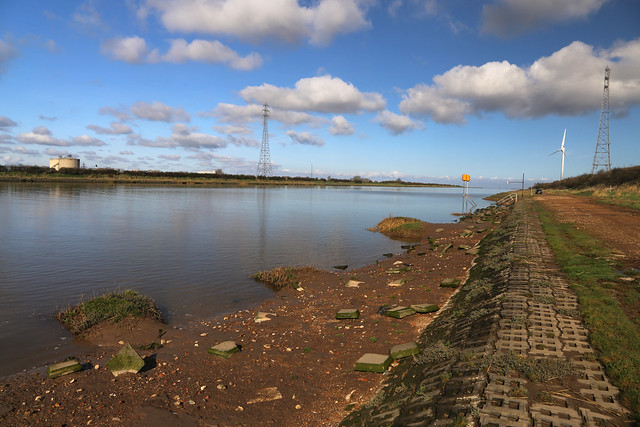
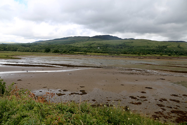
The road ahead soon descends and there appears to be some sort of military establishment on my right as there is now a high fence alongside the road and signs that CCTV is in operation. I don’t know what goes on here (I know there is a submarine base not that far from here but that is on Loch Long) and the sign soon tells me it’s MOD Loch Goil but still no idea what goes on here.
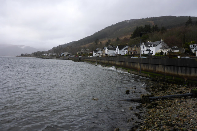
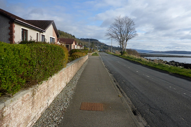
The fence soon ends and I reach the 30mph speed limit sign at the start of the village of Lochgoilhead.
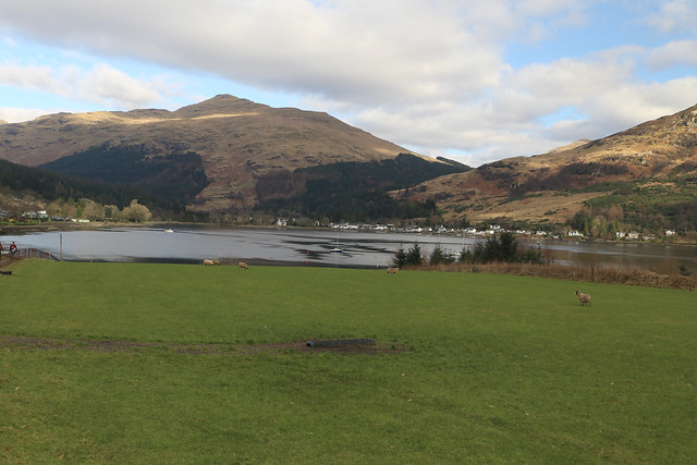
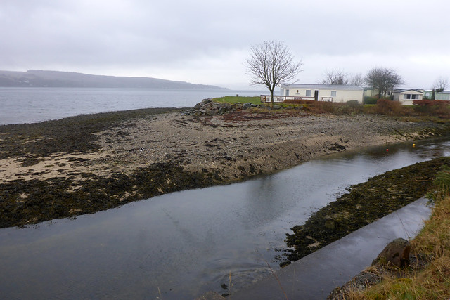
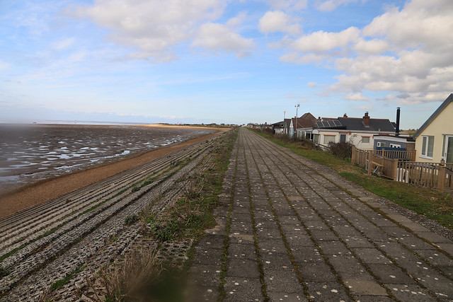
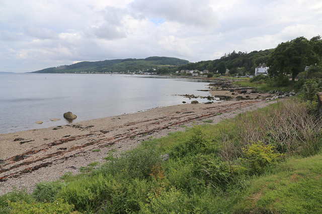
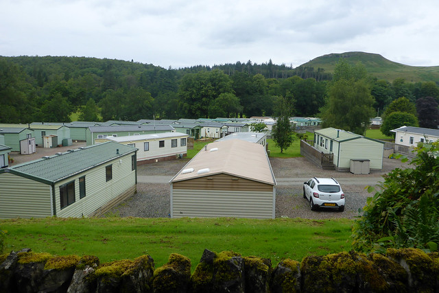
I continue along this past some isolated houses and then on my left is a large “holiday village” with lots of wooden cabins, chalets and caravans.

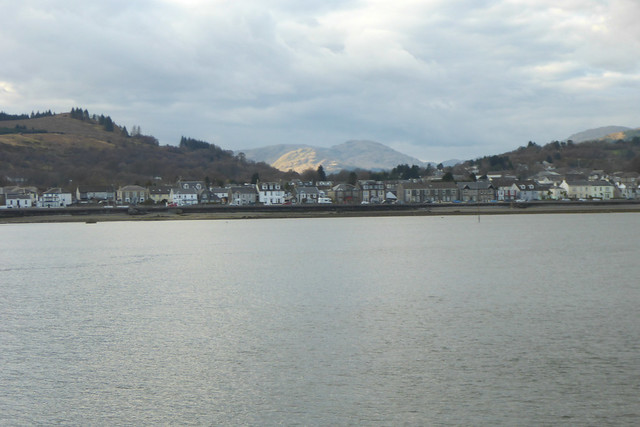
I am surprised to see this here. I mean the place is beautiful but it’s a pretty sizeable holiday facility. Despite being only February it looks quite busy and there are a lot of people walking along the road here too. I wonder who holidays here as whilst it is beautiful it is also quite remote and there are not many facilities in the area or things to do other than walks (which of course I like) and I wonder if people come here on holiday or if these are more used as weekend bolt-holes for the residents of Glasgow. Whatever I can see the attraction albeit there is not that much to do nearby.
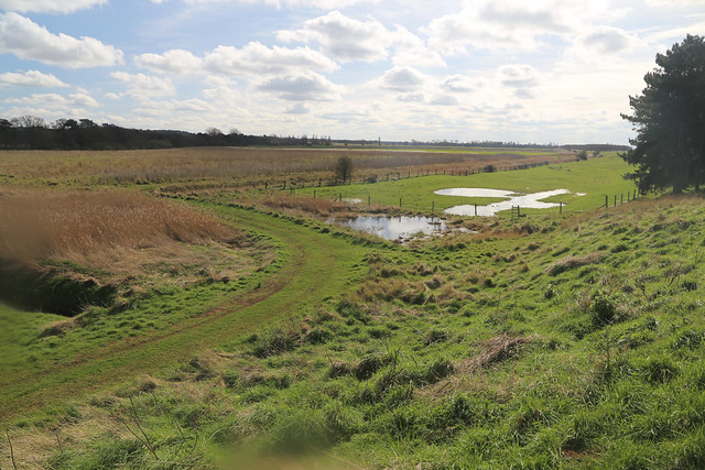
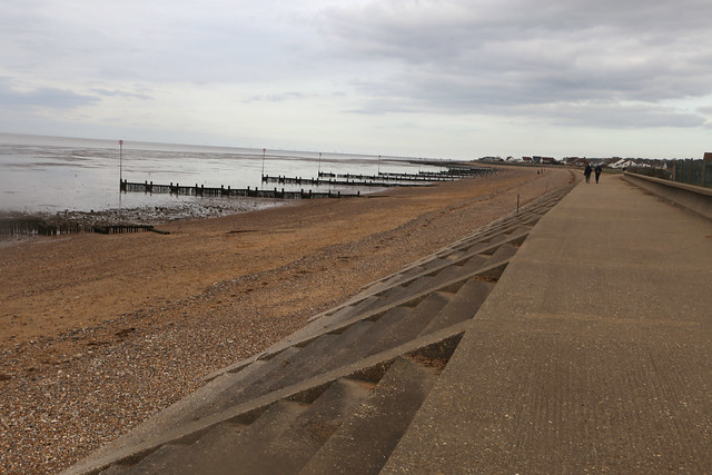
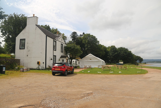
The holiday park continue for almost a mile beside the road with a hotel at the far end. Just past this a footbridge crosses the River Goil and then goes along the coastal side of a golf course to a pub at the far end.

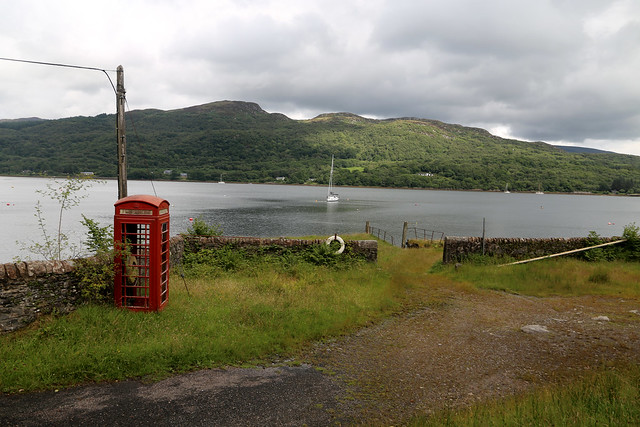
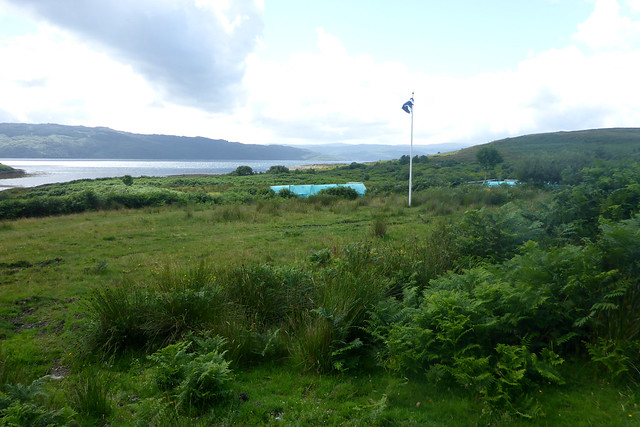
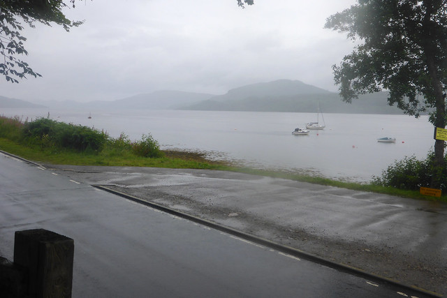
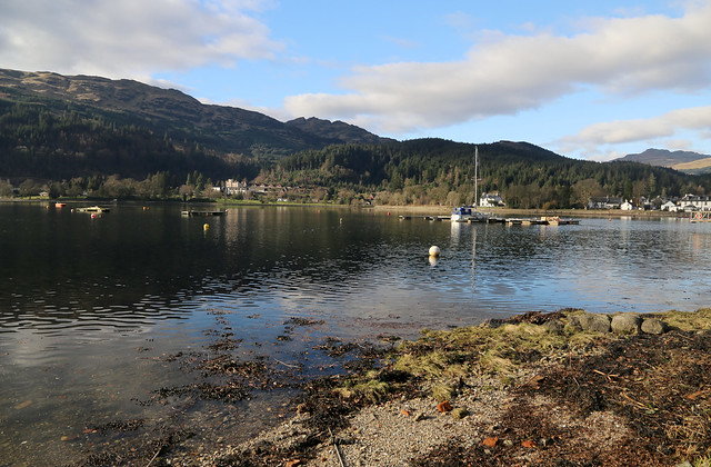
I have now reached Lochgoilhead but continue round the corner to the shop and car park. I am pleased to find the bus stop here so I know now where to wait for the bus. Unusually i’m about 45 minutes before the bus is due. I had expected the path through the woodland to be harder and take longer and as it didn’t I have plenty of time to spare (I had wondered if this was going to be tight, timing wise). I pass the time sitting beside the loch watching some people having a paddle boarding lesson, there is a school for that here it seems. There is also a village shop which seems a hive of activity, as well as toilets.

I actually see the “inward” bus coming as it then drive down to the end of the road at Carrick Castle before starting the return journey, it is a small Mercedes Sprinter Van type bus. I head back to the bus stop about 10 minutes before it is due and now there are a few other passengers. The bus duly comes but the driver spends a while gossiping, so is late leaving.
These things are really vans designed to carry heavy loads, not people and it’s a bumpy ride! The driver is I think trying to make up time having set off late and seems quite aggressive, tail-gating the cars ahead (yes it’s true the one at the front is going pretty slow, but that is no reason to tail gate the cars also stuck behind them) and the bus bumps over the many pot holes with such force it hits the suspension stops several times with loud bangs and everything rattles and I am bounced out of the seat. The destination display attached to the top of the the side window in front of me is being thrown into the window too and I’m worried it might shatter the window.
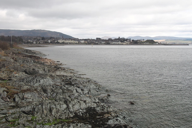
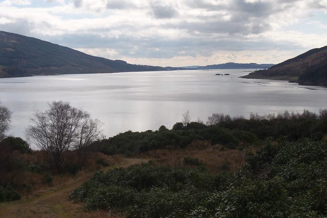
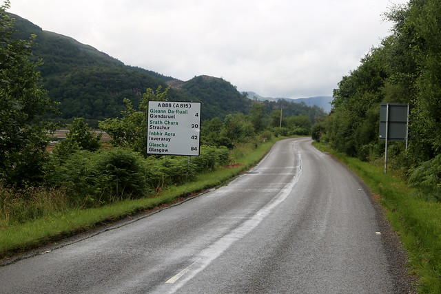
We soon reach the Rest and Be Thankful on the A83, now somewhere I recognise having driven this road many times before going down to Kintyre. The road works that were here the last time I was here (October) are still here! There is a traffic jam as a result so we have to wait to get through the lights, so we are of course still behind schedule. Once through the road works, the bus driver maintain a rapid pace. Speed limits (especially the 20mph in one of the villages) are completely ignored (and by quite some margin) and on the main road keeps tail-gating and flashing lights at the vehicles in front (succeeding in getting one to pull over). The bumpy ride and fast cornering is also making me feel a little sick and his driving is not good. It is a relief when we reached the edge of Helensburgh where he is forced to slow down by traffic lights and other vehicles. Despite all this speeding, the bus didn’t make up any time.
The bus terminate right outside Helensburgh Central station (the end of the line) where I am planning to take the train to Glasgow. Accroding to the timetable the bus is due to arrive 6 minutes before the train departs, so I am hoping for a swift connection. To avoid any delay in having to buy a ticket I bought one online on my phone whilst on the bus when we reached an area with enough mobile signal. I hurry into the station – the train is still there, but the doors close when I am about 1 metre from the back of the train. Frustrating.
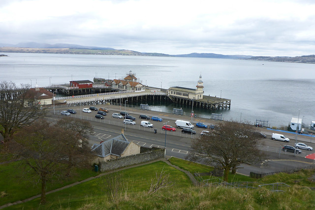
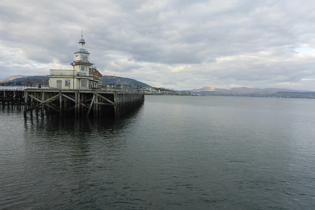
Fortunately I am now close enough to Glasgow the service is frequent and the next train is in half an hour so it’s not a long time to wait. I pass the time by walking down to the waters edge (here the Clyde) and pier (which looks to be mostly modern) for a lovely sunset view over the Clyde. A nice way to end the day and I then head back for the next train to Glasgow.
The train is quite noisy, so I put on some headphone to listen to some music. I am facing the door at the end of the carriage and a group of youths come in and walk past. Then the other passengers near me start to get up and run down the carriage. I look behind to see these youths are now fighting. Fortunately the other passengers seem to quickly calm the situation, but I am keen to get off this train. There seems to be a lot of anti-social behaviour on trains around Glasgow (on a previous walk my train was cancelled due to youths setting off the fire extinguishers).
I am not that familiar with the rail network in the vicinity of Glasgow. There are two stations in Glasgow (Glasgow Central and Queen Street). I think most trains north of the Clyde go to Queen Street and those south of the Clyde (where I’m staying) go from Central. The train I am on is going to Queen Street but the National Rail planner tells me to change to another train about 5 minutes behind mine the one I am on that apparently does go to Glasgow Central, which I find slightly confusing. I discover I can actually change to that train a stop earlier (I am keen to get off the train I am on) so I do that. The next train soon arrives and fortunately this one is quieter and no fight breaks out. I hadn’t realised, but the reason this train goes to Glasgow Central is that it goes underground and there are also underground platforms at Glasgow Central too. I didn’t know that! I then head above ground to the main part of the station for the next train back to Paisley Gilmour Steet and then walk back to the hotel and have an evening meal there.
It is a long (and expensive) way around but the only public transport between Ardentinny and Lochgoilhead are school services, which don’t run at the weekend anyway so it was probably the most practical option (and still cheaper than a taxi).
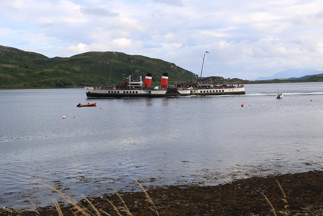
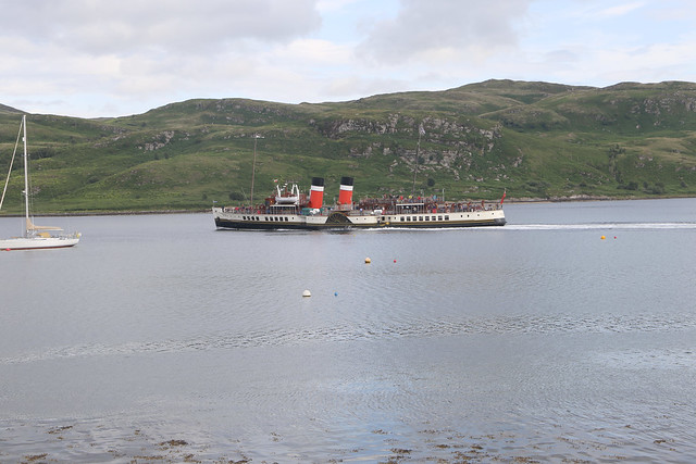
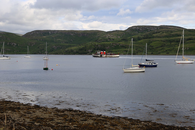
Anyway despite the slightly fraught journey back this had been a wonderful walk and day. I think there is always something special about the first new coastal walk after the winter (and I started earlier than usual this year). My gamble with the weather paid off, for the time of year I couldn’t ask for better weather and it really showed off the wonderful and still very (and varied) rural scenery, a surprise to me given the proximity to Glasgow. The lack of leaves on the trees also meant I could see more of the coast than I might otherwise be able to in the summer.
Here are details of the public transport needed for this walk. It is easiest to do this walk on a weekday when you can do the journey between Ardentinny on two buses. Otherwise it’s a long way around! On weekdays you can use bus route 489 and 484 with a connection in Dunoon.
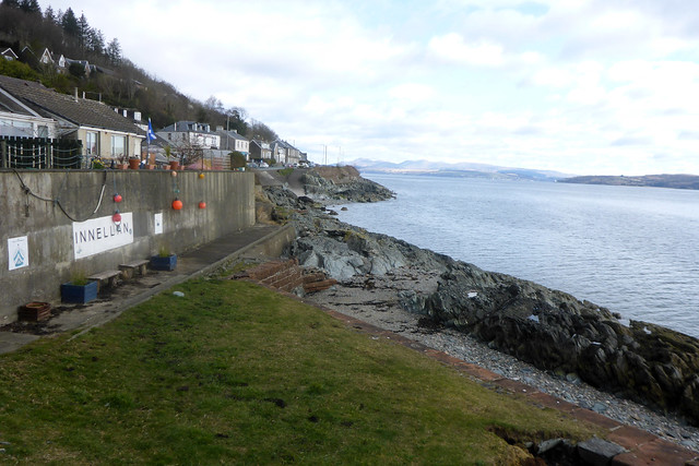
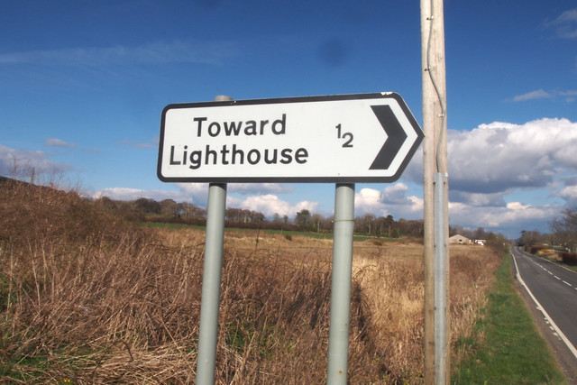
West Coast Motors route 489 : Glenfinart – Ardentinny – Blairmore – Strone Pier – Kilmun Pier – Sandbank – Hunter’s Quay – Dunoon – Innellan – Toward (Lighthouse) – Toward Castle. Approximately hourly Monday – Saturday. 4 buses per day on Sunday. It takes around 35 minutes to travel between Ardentinny and Dunoon.
West Coast Motors route 484 : Dunoon – Sandbank – Kilmun – Benmore – Whistlefield Inn – Strachur – St Catherines – Lochgoilhead – Carrick Castle. Around 3 buses per day Monday – Friday between Dunoon and Lochgoilhead on school days. 2 buses per day Monday – Friday during the school holidays.
If you use these buses you can connect in Dunoon. Otherwise or on Saturdays I think the best option is to take bus 302 from Lochgoilhead to Helensburgh (note the last bus of the day on this route runs only on request and must be requested by 4pm). Then take bus 316 from Helensburgh to Kilcreggan. From there take the Kilcreggan to Gourock ferry to Gourock. Then the Gourock to Dunoon ferry to Dunoon and finally bus 489 from Dunoon to Ardentinny (or reverse) but check the first and last times carefully!
Garelochhead Coaches route 302 : Helensburgh (Central Station) – Helensburgh (Upper Station) – Luss – Tarbet – Arrochar and Tarbert Station (limited service) – Succoth – Rest and Be Thankful (A83) – Lochgoilhead – Carrick Castle. 2 services per day run the full length of the route Monday – Saturday. There is an additional service between Arrochar and Tarbert station and Carrick Castle in the morning and another returns in the evening but only if you request, by 4pm by telephone on 01436 810200. There is no service on Sunday.
Gairelochead Coaches route 316 : Helensburgh (Central Station) – Rhu – Shandon – Faslane – Garelochhead – Clynder – Rosneath – Killcreggan (Pier) – Cove – Coulport. Hourly service, seven days a week.
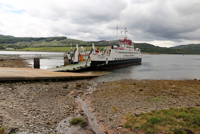
Caledonian MacBrayne Kilcreggan to Gourock ferry : Approximately hourly, Monday – Saturday and takes around 13 minutes. No service on Sundays.
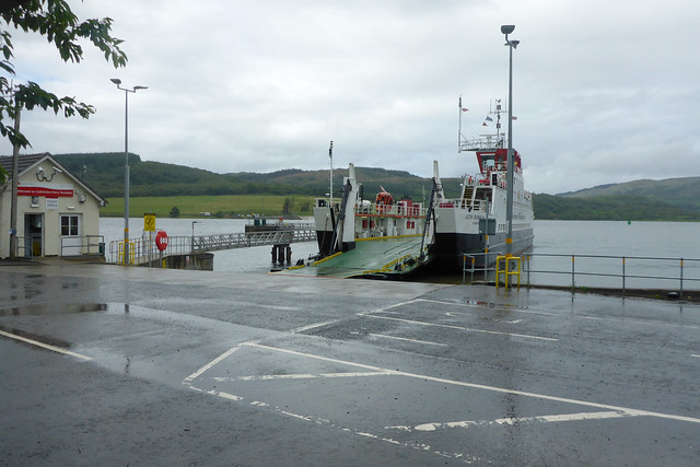
Caledonian MacBrayne Gourock to Dunoon ferry : Hourly, seven days a week. Every 30 minutes for much of the day Monday – Saturday. It takes 25 minutes for the crossing.
Here are the complete set of photos for this walk : Main Link.
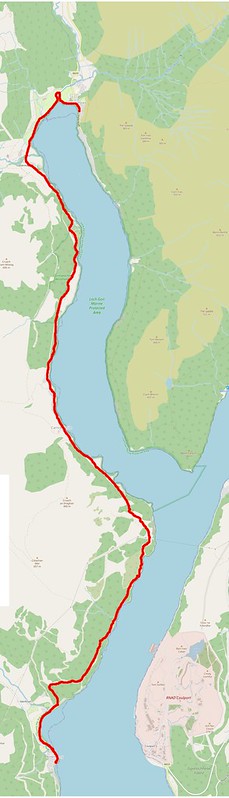
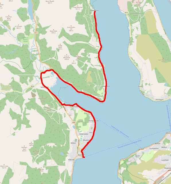
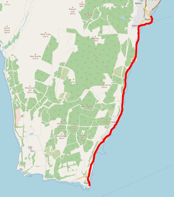
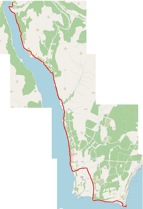
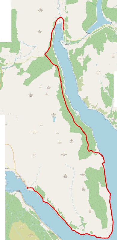
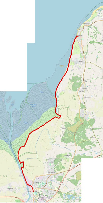
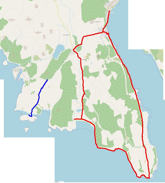
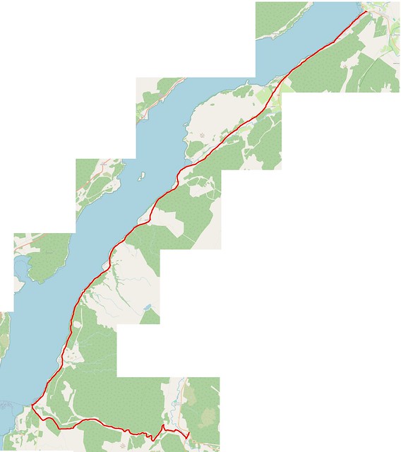
Here is a map of the walk :-